Attendees:
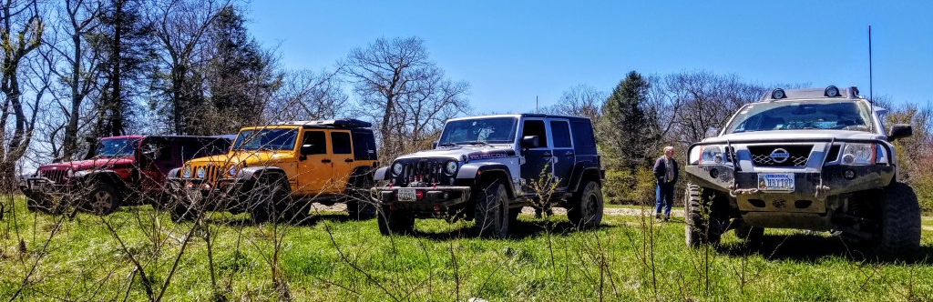
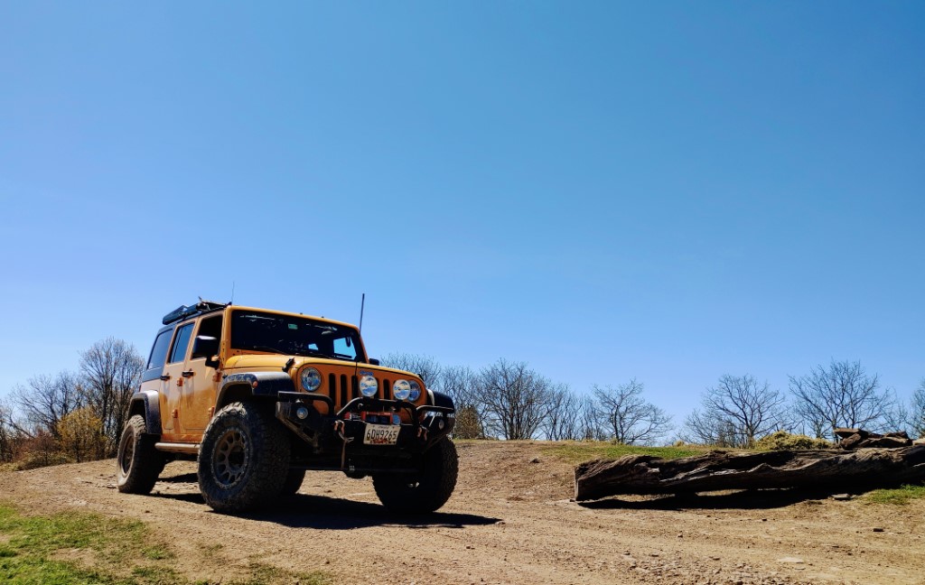
- Jendra & Kiran Rambharos – Orange JKU
- Brian & Kelly Middleton – Gray JKU
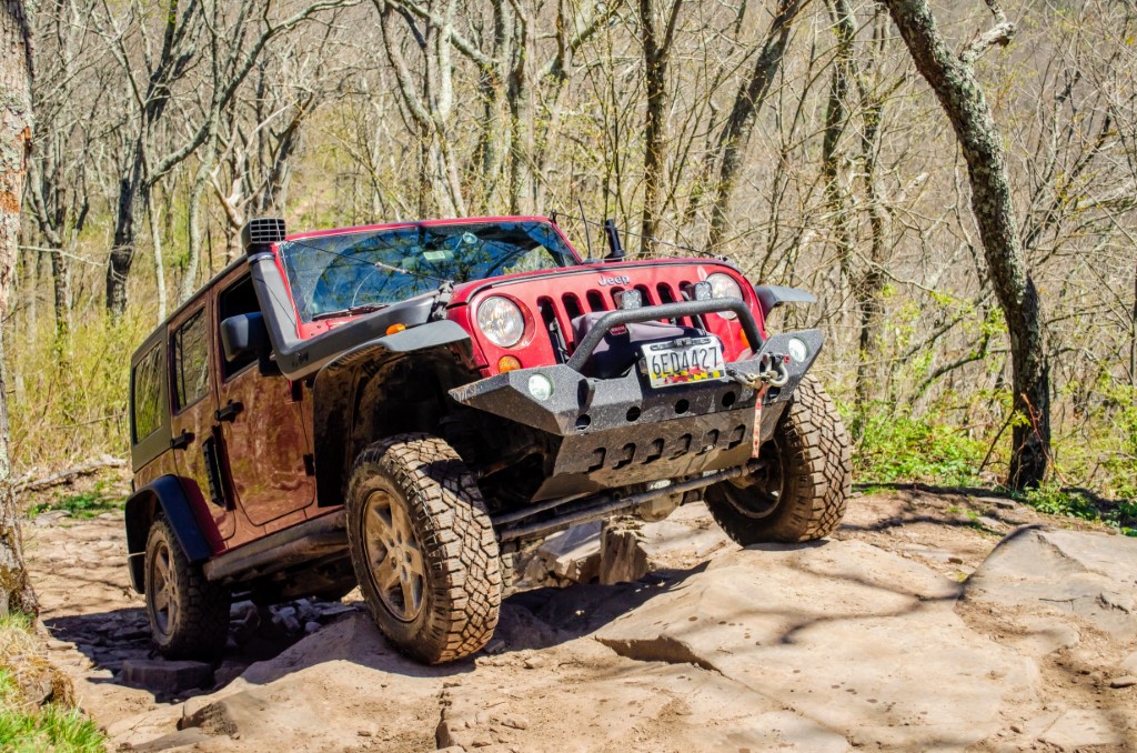
- Mike O’Grady & Niel Wintfield – Red JKU
- Andrew, Cherie & Ethan Taylor – Silver Xterra
After a really fun trip out to GWNF back in October of 2020, several of us were eager to get back out, and tackle the Union Springs trail going in the opposite, uphill direction! Going downhill was a lot of fun, requiring decent ground clearance and a good amount of suspension flex. But being downhill, it was less of a challenge, with gravity helping when the vehicles ran out of suspension travel, allowing them to slide down some obstacles on their rock sliders and skid plates!
Going uphill presented a better challenge, requiring careful line placement and articulation, as well as the occasional engagement of either lockers or the vehicle’s built in traction control, grabbing a spinning tire that lost traction, and keeping the vehicle moving on particularly flexy bits of trail!

We started out meeting at a different location than we have in the past, the Ottobine Elementary School, 8646 Waggys Creek Rd, Dayton, VA 22821. For this trip, this meetup location was chosen because since we were doing the trail in reverse, our entrance point to Union Springs was closer to this spot.
After a quick drivers meeting and waiver collection, we headed out to the trail. We stopped by the Union Springs Hollow Lake to air down and do a quick radio check before starting off. Once on the trail, it was a relaxed forest road drive for the first several miles before reaching the first obstacle. Unlike most obstacles on Union Springs Rd, this one had 3 options for bypasses. On the far right, the least challenging, capable of being traversed by a stock 4wd vehicle quite easily. In the middle, was a middle ground path, with 1 rock step about a foot tall. The far left presented the more fun challenge. This obstacle was going downhill, so it was a matter of careful line choice, and ground clearance. A Wrangler on 34 inch tires, and 3.5 inches of lift can handle it without hitting. Anything else lower than that will require rock sliders and underbody protection.
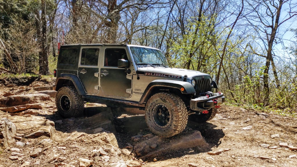
As we continued down the trail, we came across a handful of other obstacles, which were quite fun in the uphill direction. They often flexed out the vehicle, and in most situations, lifted a wheel in the air a bit, which would cause a vehicle with open differentials to lose traction. With traction control, or lockers, however, they can be tackled with relative ease. There were also quite a few mud puddles covering the track, giving us a bit of splashy fun as we went through. We haven’t had a lot of rain recently, so i’m sure those puddles could have been bigger!
Around 1pm we arrived at Meadow Knob. It’s a lovely clearing with a great view, and the perfect stop for lunch. We all lined up, and enjoyed a nice break for lunch. Also gave the kids an opportunity to get out and stretch their legs a bit, and have a chance to play.
After lunch, we continued our ride up to Flagpole Knob, finishing the biggest challenge of the day, right at the top of the trail before reaching Flagpole Knob. This is a particularly rutted out section of trail, with some large rock steps to overcome. Having not tried using my lockers throughout the trip, I figured I’d switch on the rear and give it a shot, to see how the jeep handled this obstacle with them on. Turns out, the locker switch could simply be called the easy button! The Jeep simply idled up the obstacle, maintaining forward momentum and traction the entire way up, with no drama. All of the other vehicles made it up with no problems at all, with their traction control systems stopping wheel slip and pushing them up the obstacle.
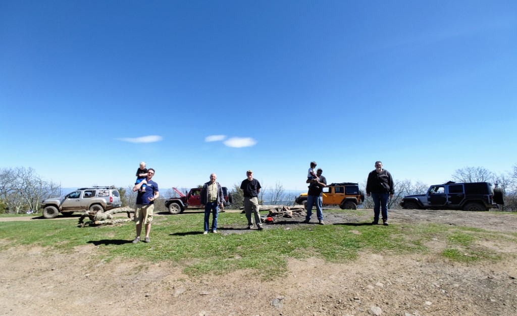
After a quick stop at Flagpole, we took the road down to Briery Branch Rd, where we aired the tires back up to get back onto pavement. A few of us continued up to Reddish Knob for the overlook, and then wrapped up the trip there. Even though it was paved, it was a beautiful forest drive down Briery Branch Rd to head out of the George Washington National Forest.
That wraps up a great and fun trip, and a good way to test out our vehicles!
Track
Profile
No data
No data
No data
No data
No data
No data
Duration:
No data
Trail Reports written by Jendra Rambharos. Pictures contributed by Jendra Rambharos, Cherie and Andrew Taylor, Brian Middleton. Video provided by Jendra Rambharos. GPS track provided by Andrew Taylor.