On the club’s recent trip to Big Levels we noticed several marked side trails that the club had either never explored or hadn’t explored in a while. For a full description of the main trail see the trail report from June 2025. When a free weekend popped up in October, a small group of explorers set out into the unknown!
Attendees:
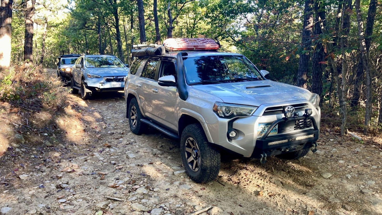
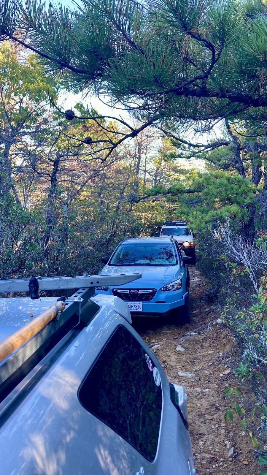
- Ben D. – Toyota 4Runner
- Kirk- Toyota FJ Cruiser
- Jesse B. – Subaru Crosstrek
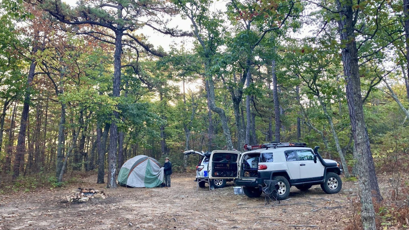
Ben and Kirk met on Friday and camped near the north end of the trail and Jesse joined them on Saturday morning.
About 1.7 miles into the trail they came to a fork in the trail where the club has gone left in recent years. The left fork takes 1.5 miles to climb the mountain up some switchbacks and the right fork takes a more direct 0.8 mile route up the mountain. Despite being steeper there were no notable obstacles. The right fork did seem slightly narrow with some pinstriping that the left fork didn’t have in the summer.
2.9 miles in we came to the next signed fork. Taking the left here goes up a steep climb to the overlook. This time we went left and were greeted with an easy bypass to the steep climb.
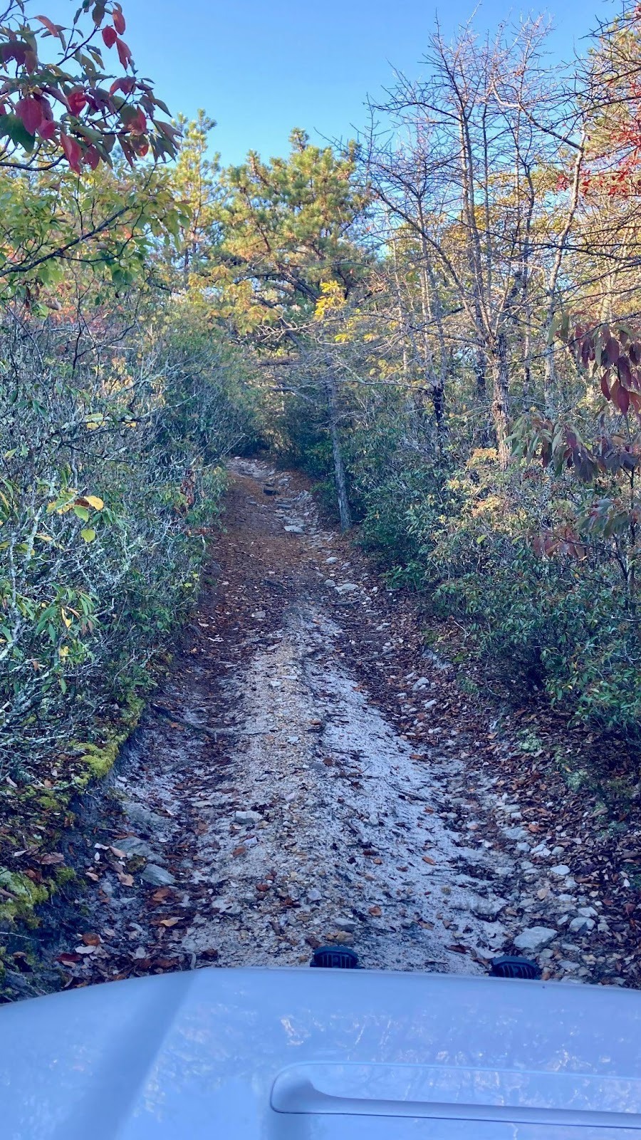
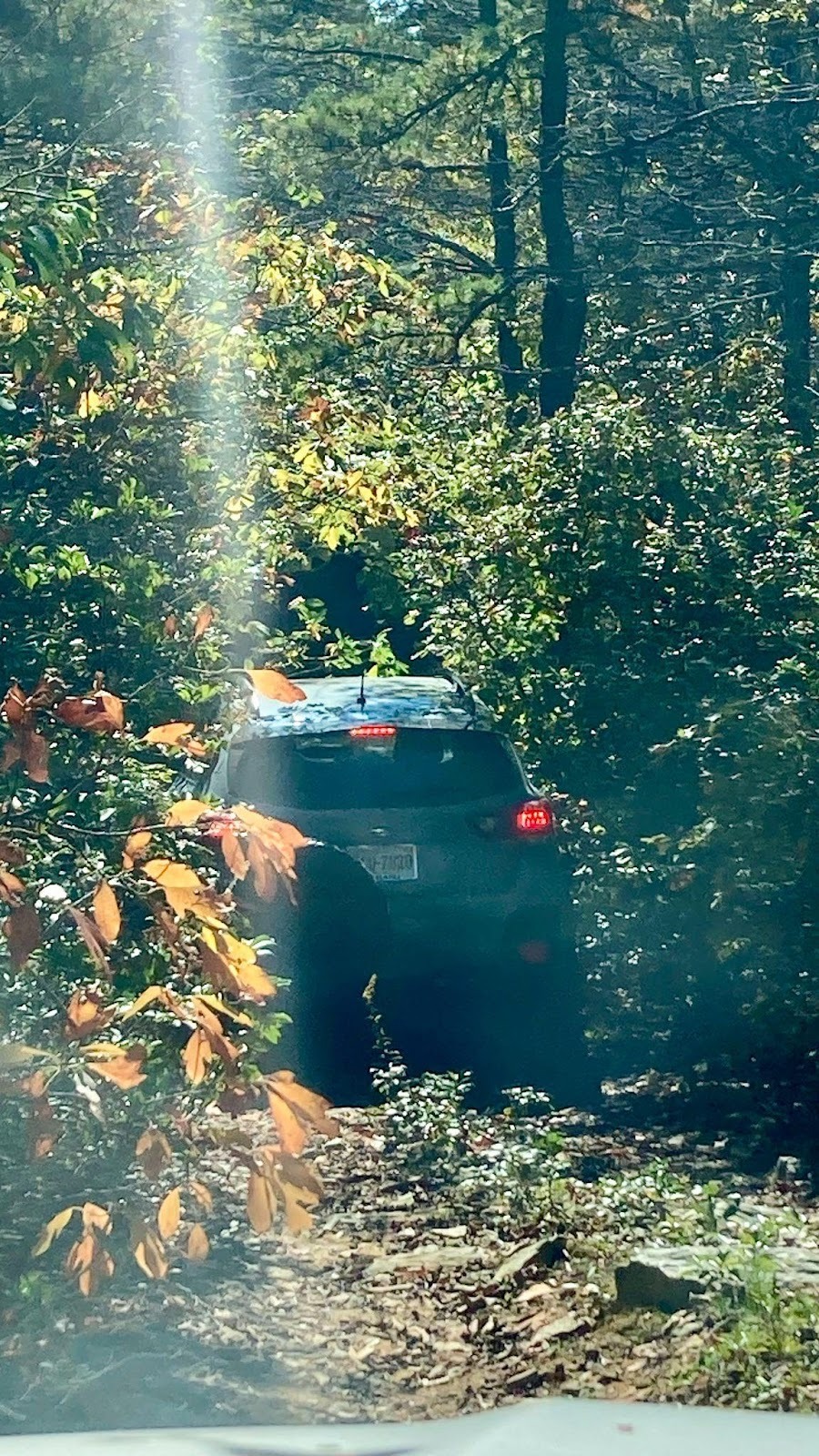
Almost 4 miles in we came to the first of two major dead end roads that lead off the main trail. The first, 162A, leads off to the right and appears to summit a mountain. We were greeted with a severely overgrown trail that managed to pinstripe even Jesse’s smaller Crosstrek! The trail never reached a noticeable summit or appeared to lead much of anywhere except maybe a hiking/biking trail.
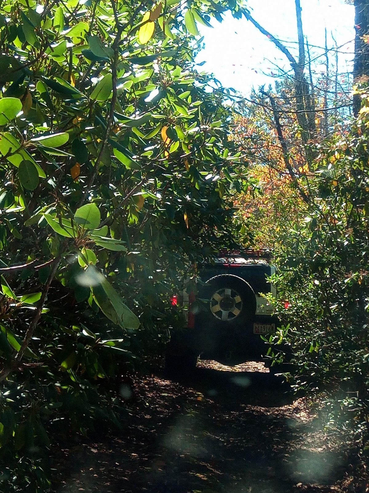
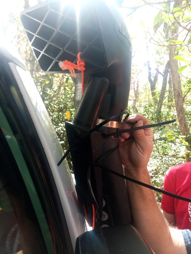
Just over five miles in we came to the second of the two dead end roads, 162B. This one goes off to the left and, wary after our first trail, we headed in figuring it couldn’t be that much worse than the first… It soon became clear that it could be worse and was so bad that even the bikes carved their own wheel line down the middle of the trail between the 4×4 two-tracks. After some vicious pinstriping, we reached the end of the driveable trail although a hiking trail did continue on further. After a brief break for lunch we headed back the way we came. On the way out, a tree branch grabbed Kirk’s snorkel so hard it broke the stainless steel clamp holding it on! His GMRS antenna that was mounted to his snorkel was also left dangling. While looking for the missing parts of Kirk’s snorkel, Jesse found another snorkel top claimed by nature lying just off the trail! After some creative use of zipties and parachord the group made their way back to the main trail relieved to be done with the trail. Kirk and Ben said it was probably the worst pinstripping they had ever dealt with.
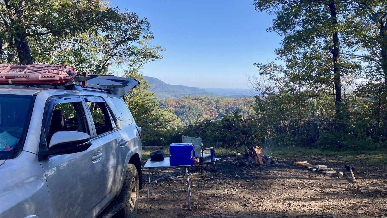
Near the end of the main trail we turned down 162C which leads to an overlook and National Park property. Having completed the trail plus some in really good time, Kirk and Jesse headed for home and Ben soaked in the views at a campsite near the end of the trail.
Trail Report written by Ben Dunkerton. Pictures contributed by Ben Dunkerton and Jesse Bartels.