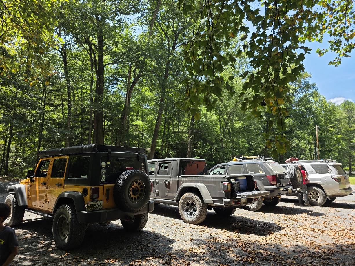
Attendees:
- Jendra & Kiran – Jeep JK
- Ben Dunkerton – 4Runner
- John & family – Jeep Gladiator
- Brett – Jeep Cherokee
The Frederick Watershed has always been a very beginner friendly, nearby section of dirt road to those in the DMV area, which allowed folks to get their tires dirty, enjoy some pretty views, without the hike down to the George Washington National Forest area that the club frequents.
In recent times, however, changes and closures have been made to the area limiting access to different parts of the watershed.
To get ground truth as to exactly what parts are driveable, we decided to head out and record some tracks to get definitive proof of where we can drive out there.
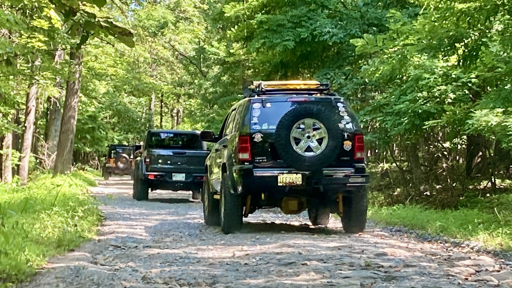
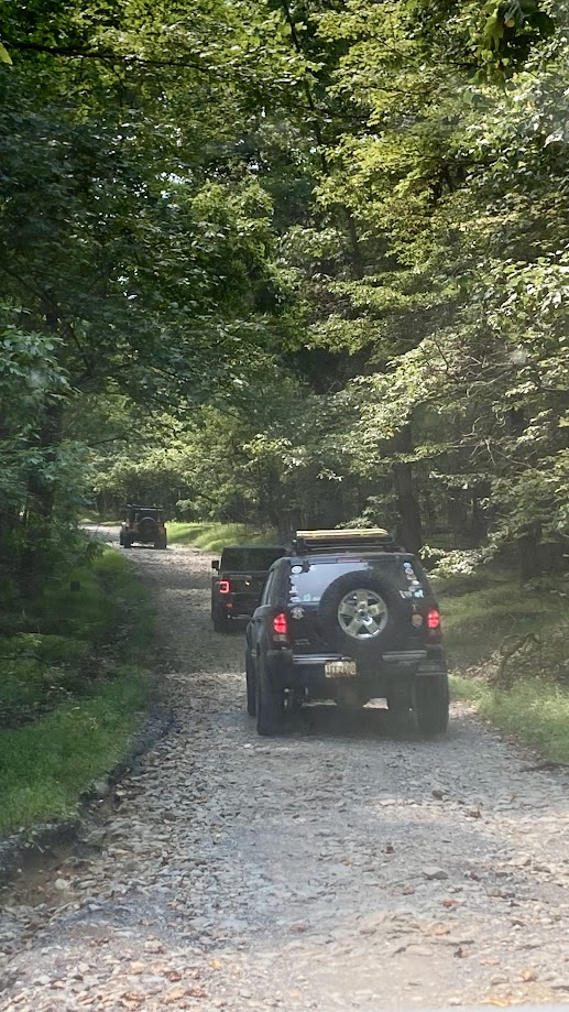
We met at our usual Mountaindale parking lot, and ventured into the woods. As it’s always been, it was a lovely drive up the trail, with some areas showing some recent rain washouts, but nothing challenging. Any stock 4×4, or even most Subarus, could easily traverse the trail.
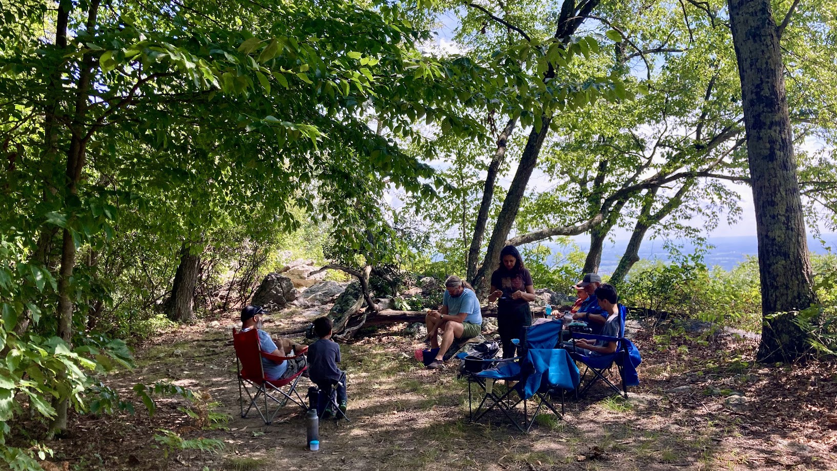
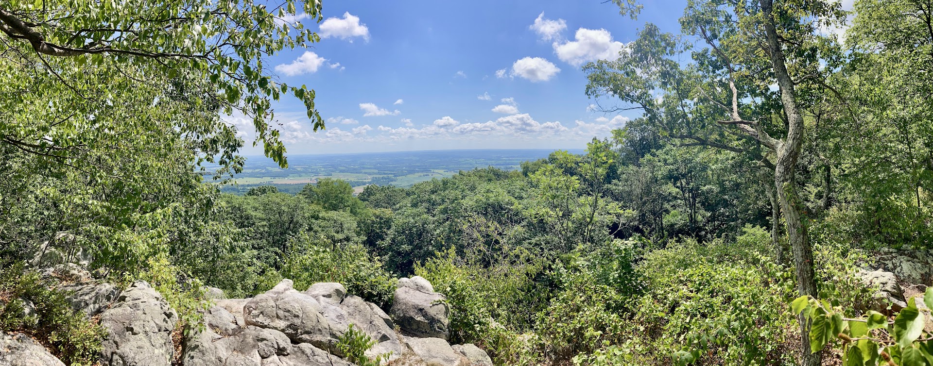
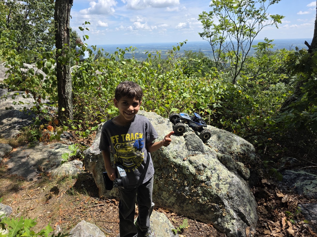
We made our way to the White Rock overlook for lunch, with a great view of the town below. After hanging out for a bit, with Kiran having a chance to bust out his RC rock crawler for a spin on the rocks, we wrapped up and headed out.
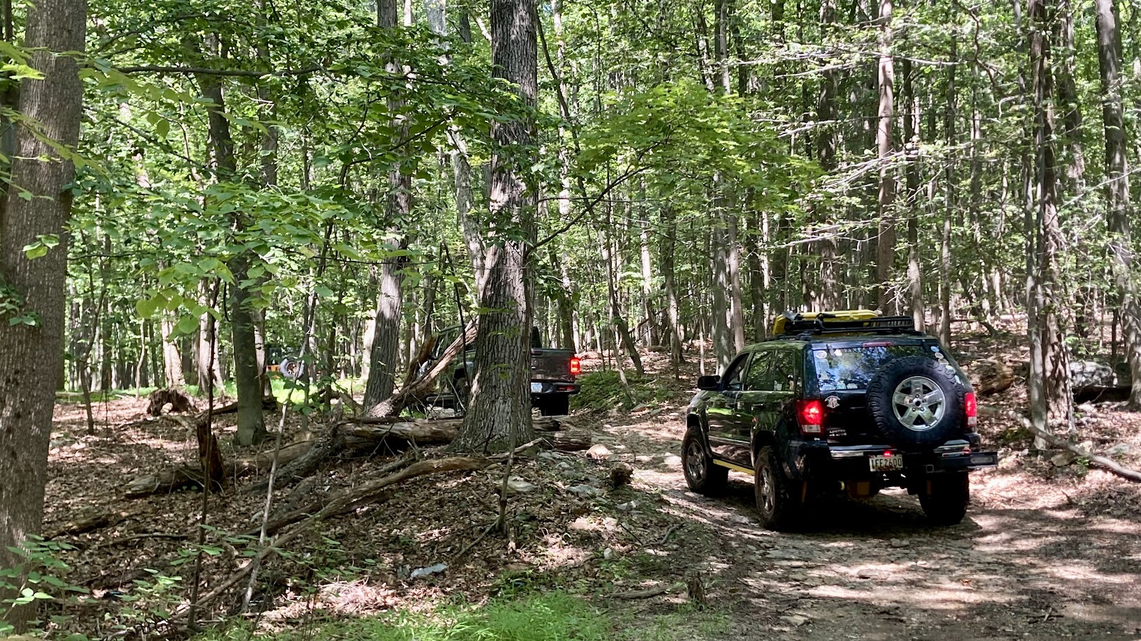
After a short drive, we came across the first anomaly from my last trip out. In the past, which differs from others’ recollections, you could continue straight and do an outer loop. This time, however, straight forward was blocked off by a gate, and you could only turn left and head back down. We headed down, hoping that it connected to the road at the end. Unfortunately, we met another gate at the end, blocking the connection. So we had to backtrack back up, and come back the way we came, towards the parking lot.
Once there, we decided to check out Hawbottom Rd, a section of dirt road that Ben had explored in the past. If the road we were on before wasn’t blocked, it’s a short drive to get to Hawbottom. But with that closed, we had to make a lengthy loop around, onto the highway, and down some local roads to get to Hawbottom.
Once we got there, we drove up, which was a fun little offroad section, similar to Peters Mill down in VA. Once again, we got to the end, and turned around, because it looked like the road continued on into a neighborhood, and we had to go the other way to head back home anyway.
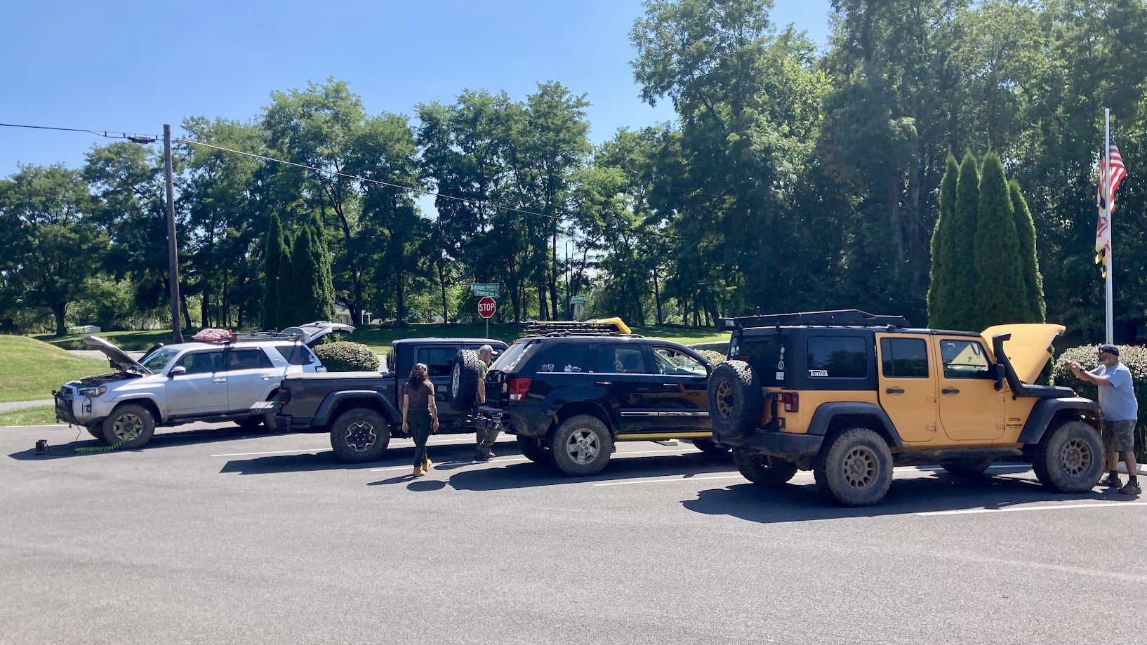
Right before the main road, we pulled into a parking lot to air up and wrap up the trip. As always, it’s nice to get out and get some fresh air, even if the trails were easy. Thanks for a great time everyone!
Sunday
Profile
No data
No data
No data
No data
No data
No data
Duration:
No data