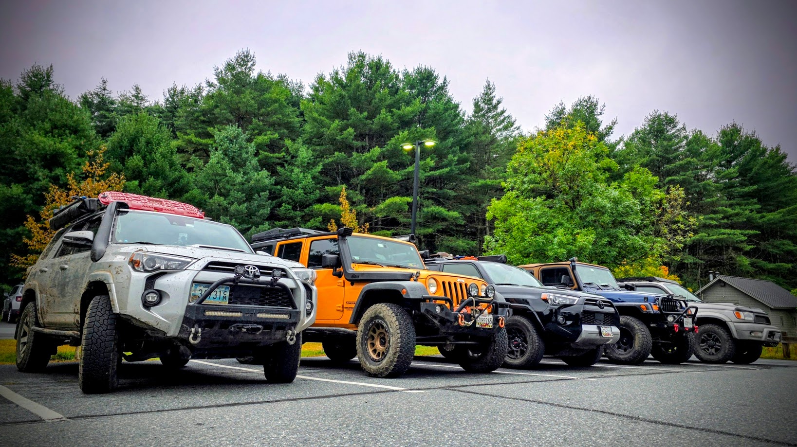
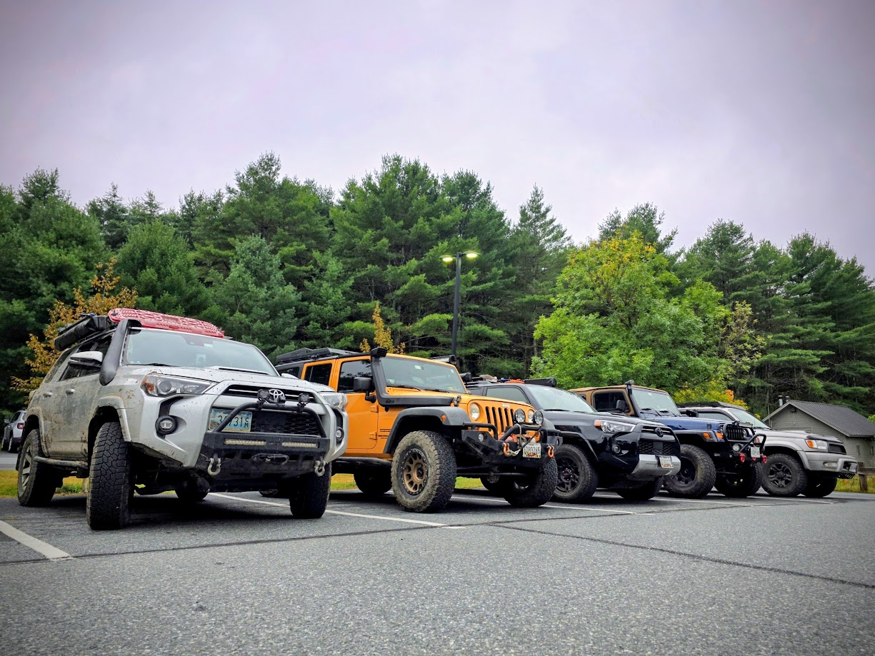
Participants
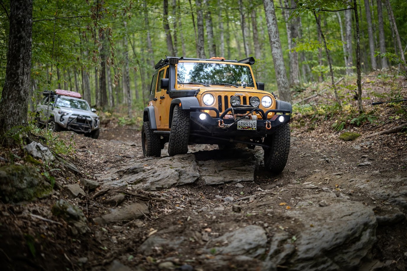
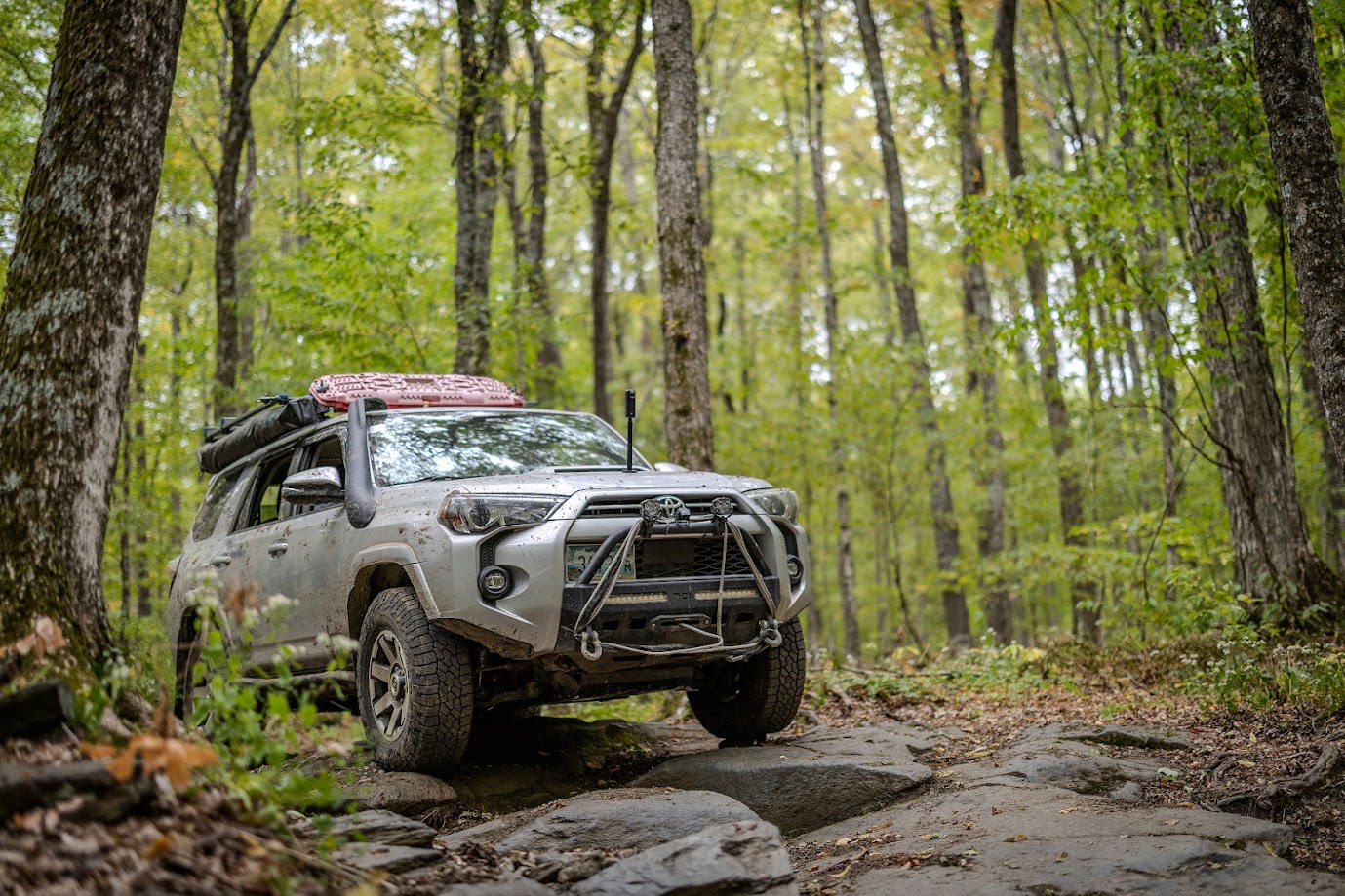
- Matt – 5th Gen 4Runner
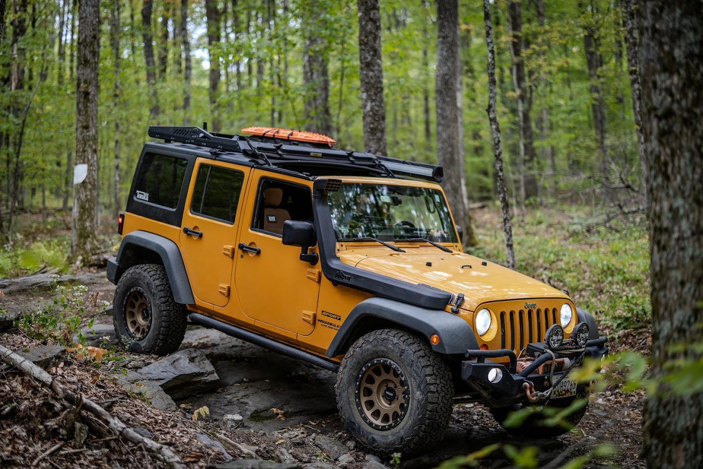
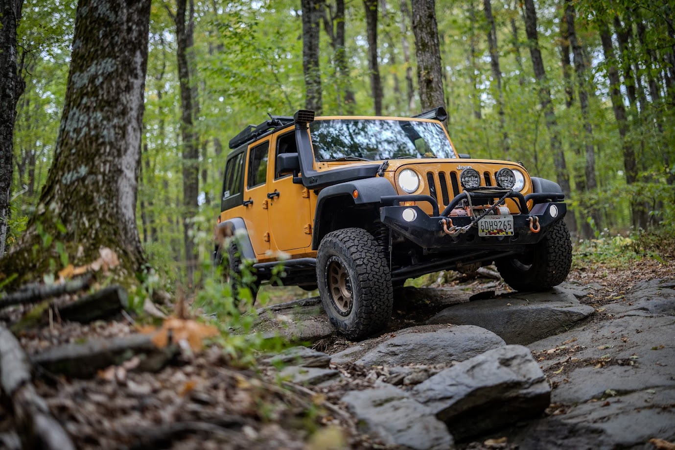
- Jendra – Jeep JK
- Ben – 5th Gen 4Runner
- Robert – 3rd Gen 4Runner
- Brian – Jeep TJ
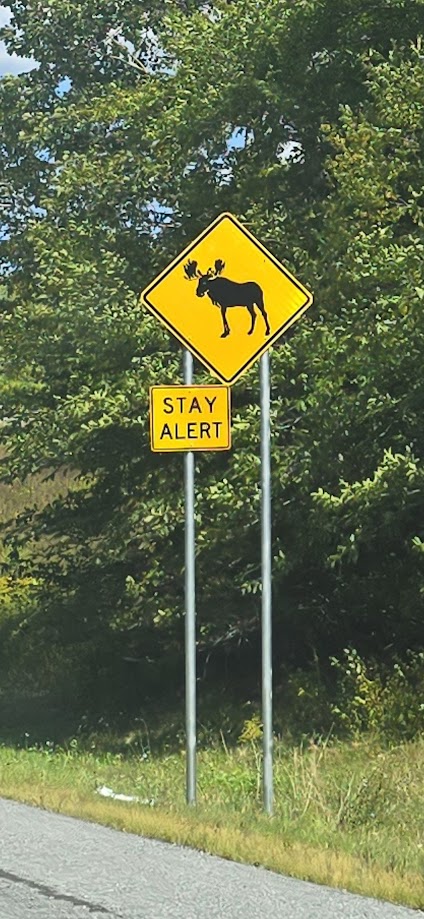
This was an intense trip – the tagline we came up with is “Class 4 roads, type 2 fun!”. Class 4 Roads are Vermont’s ancient roads, which range from graded gravel roads to rocky colonial wagon trails and everything in between. If you look around online, people are pretty tight lipped about specific class 4 roads – it was very difficult to find information on trail conditions when planning this trip. Out of respect for the locals and to help protect these roads from overuse, I am not going to name or identify any of the specific class 4 roads we were on.
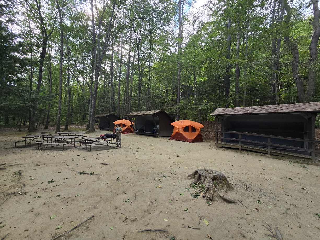
Most of us arrived on Thursday evening at Wilgus State Park, a Vermont state park right on the Connecticut River. We had reserved a group campsite, which was slightly disappointing. The description of the campsite and park map make it look like the group site is immediately next to a parking area, but it was actually a little bit of a walk between the two. The campsite was also right along a busy road, and plenty of strangers walked right through our campsite on their way down to the river. After that negative note, I did want to mention that all of the staff and volunteers were super friendly, and they did an amazing job in keeping everything clean.
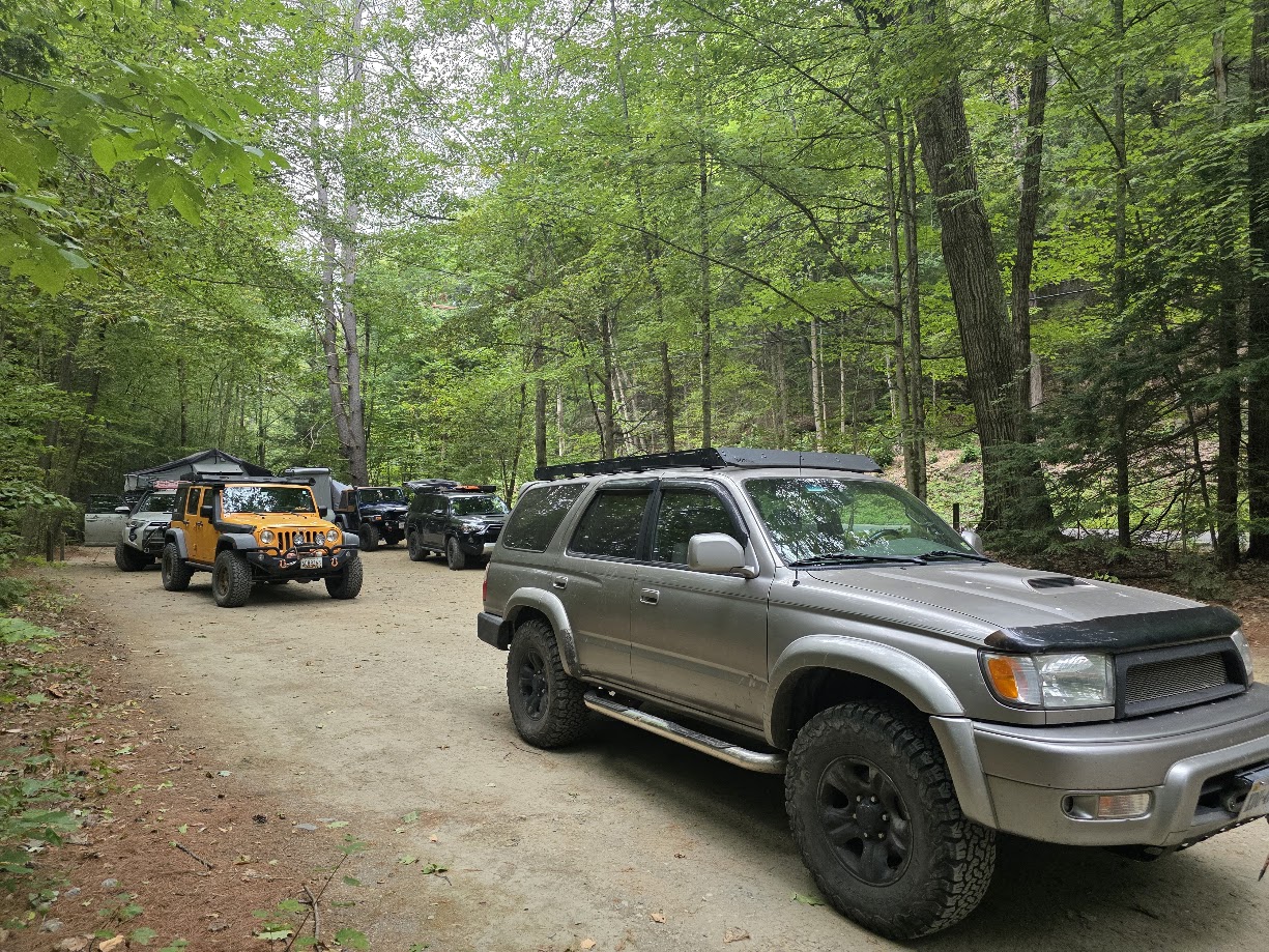
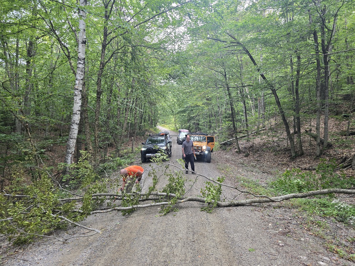
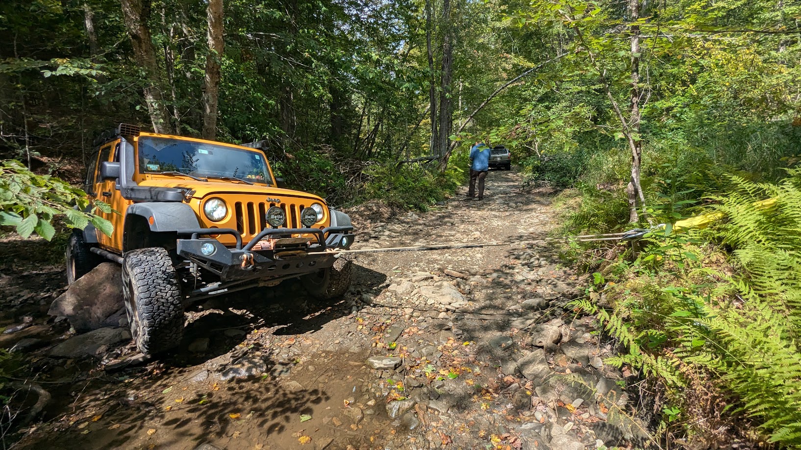
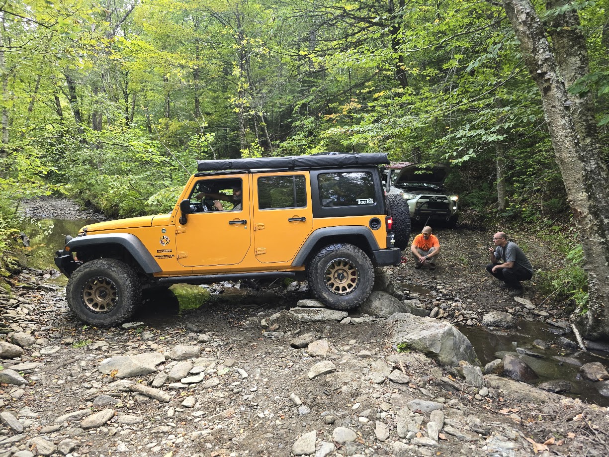
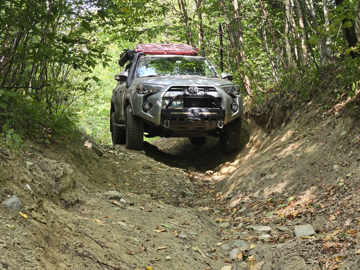
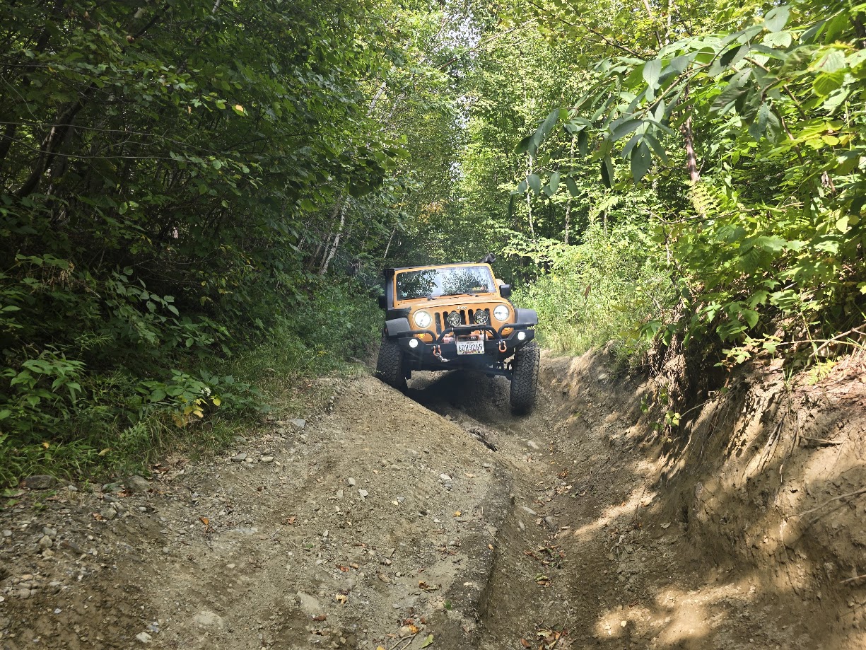
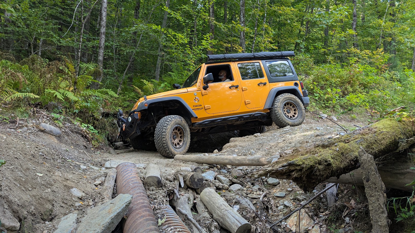
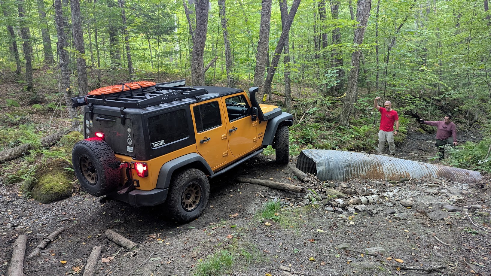
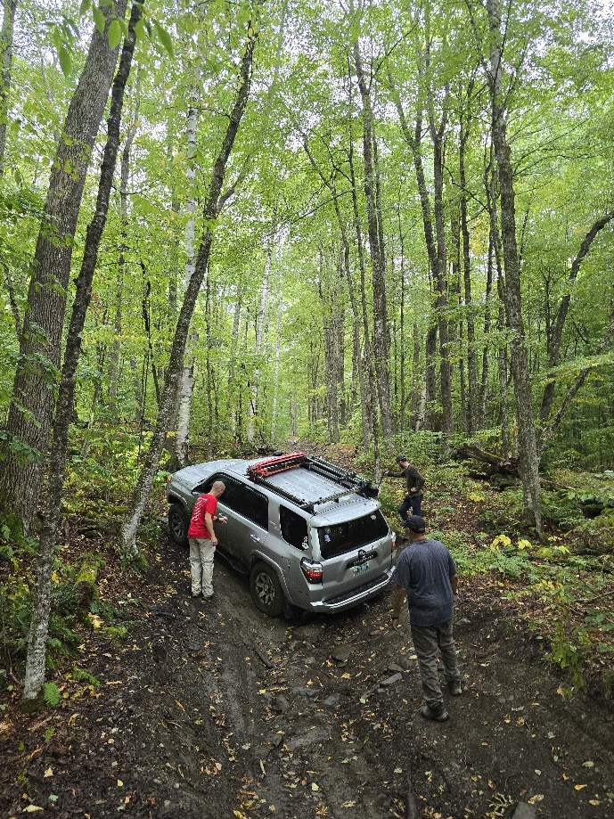
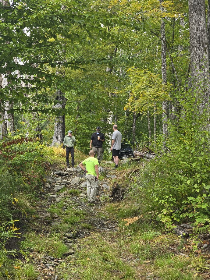
We pulled out of camp at 8AM on Friday and explored some easier class 4 roads in the morning and early afternoon, where Jendra managed to get very stuck on an optional rock. Took about an hour of back and forth driving and winching with two winches (one to pull him off and the other to keep his side off a tree) at the same time to get him out! In the late afternoon we parked the less built vehicles and continued on to a much more difficult trail. This trail essentially ran through a long twisty and curvy ravine, which required careful line choice and articulation more than large tires and diff lockers. It was an interesting challenge that kept us going past sundown, we finished the trail with spotters working via flashlight. It was 10PM by the time we got back to the campsite.
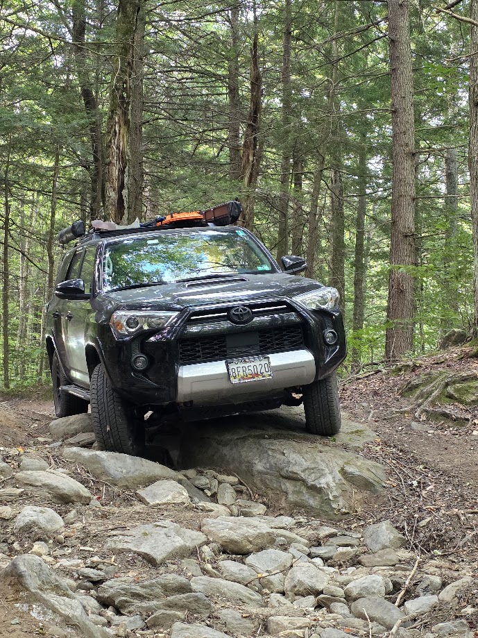
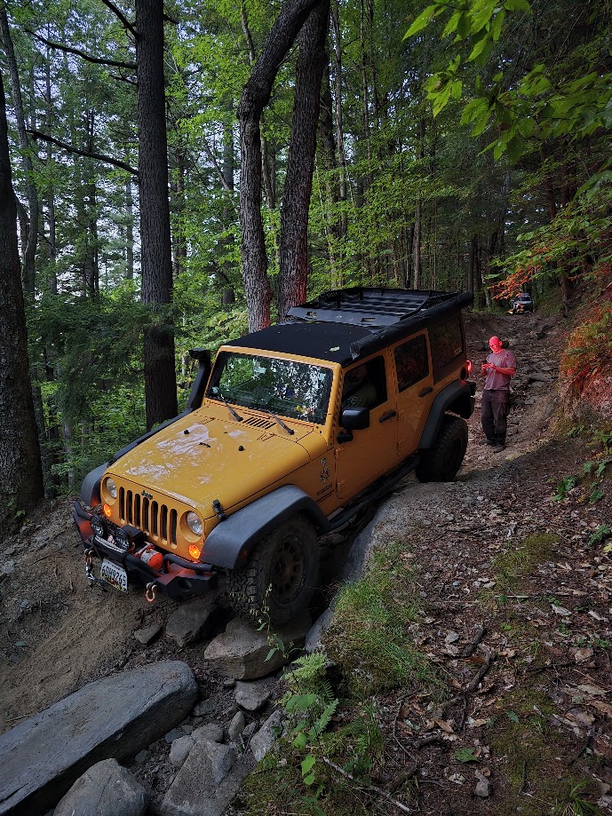
We slept in a bit on Saturday and headed to another supposedly difficult class 4 road, leaving the less built vehicles back at camp.
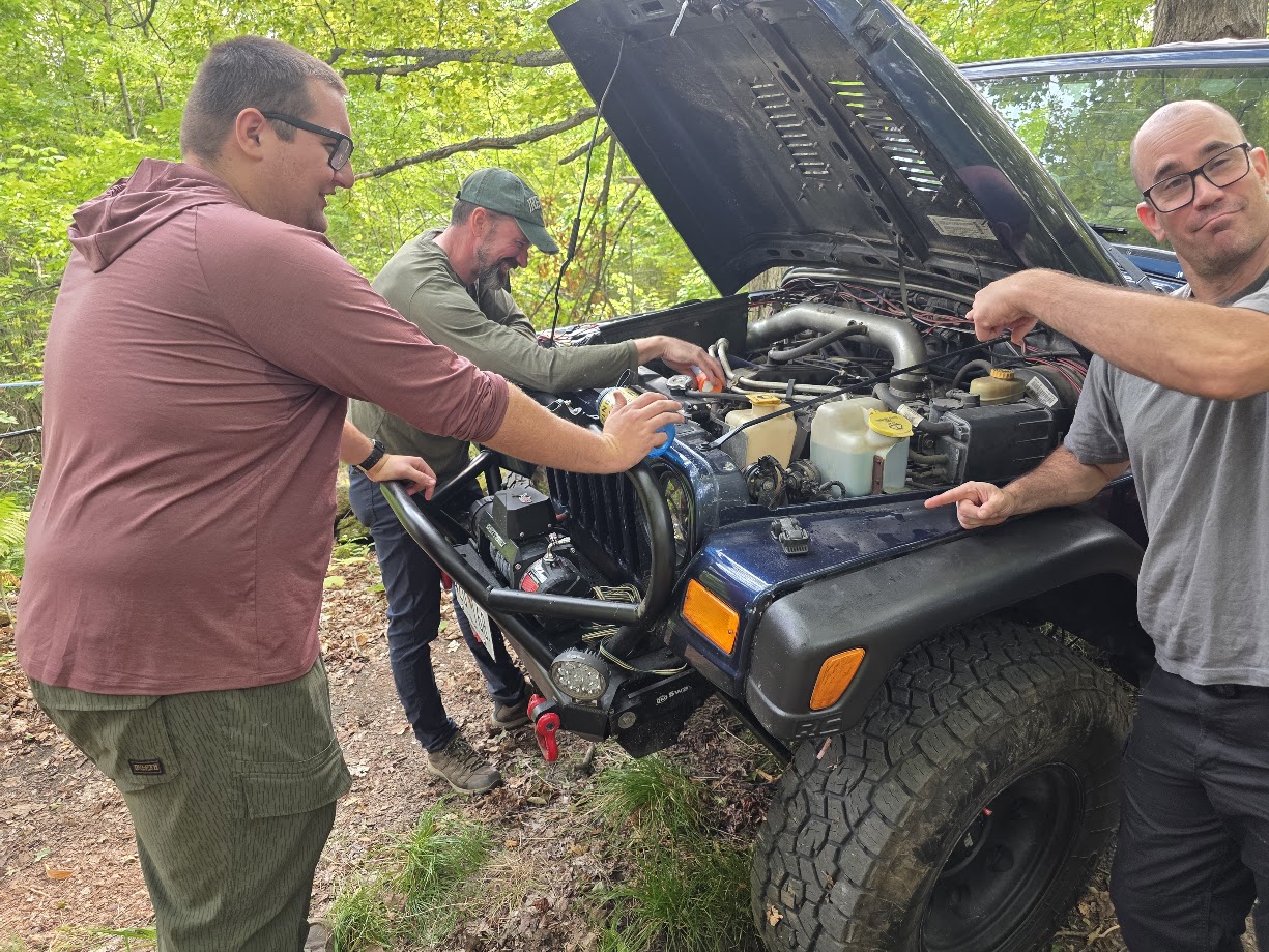
Early on in this trail, one of our vehicles had some cooling issues and had to be parked on the side of the trail for us to return to later.
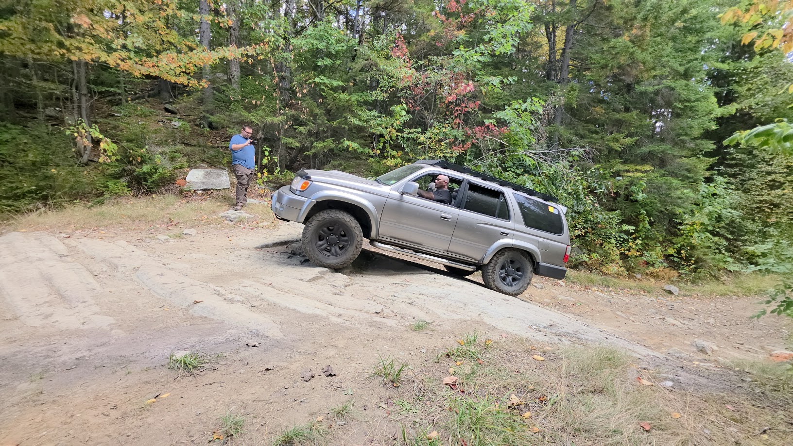
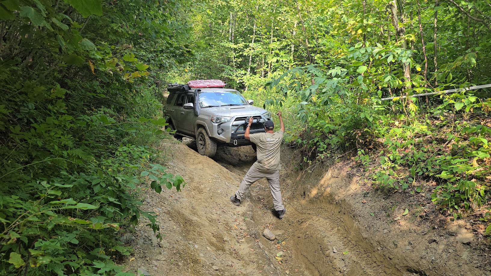
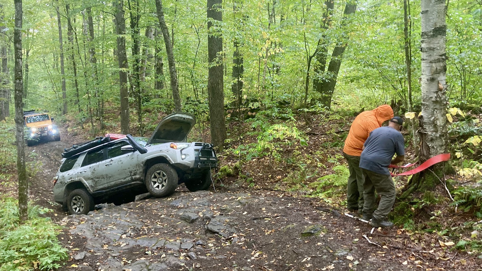
We continued on slowly conquering difficult obstacles until we reached the final obstacle of the trail, which was simply impassable in our vehicles (and seemingly any other street vehicle). We did not get any pictures or video of this obstacle, but it was a pair of large boulders on either side of a tight curvy ditch – the best line we saw would require the vehicle to be off camber enough to rub one of the boulders if not just rollover. Once home, we found a few videos of this trail (the newest one being from almost a year prior) and this obstacle didn’t appear to be quite as difficult. Vermont has had some hard rains and flooding this summer, which I believe washed this obstacle out making it as difficult as we saw it.
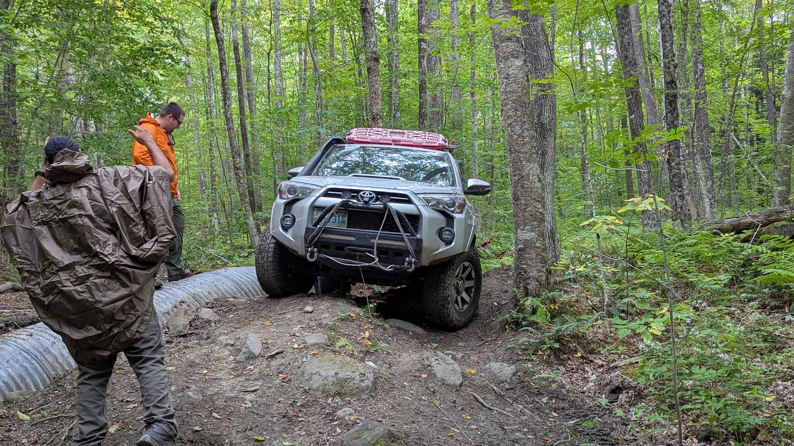
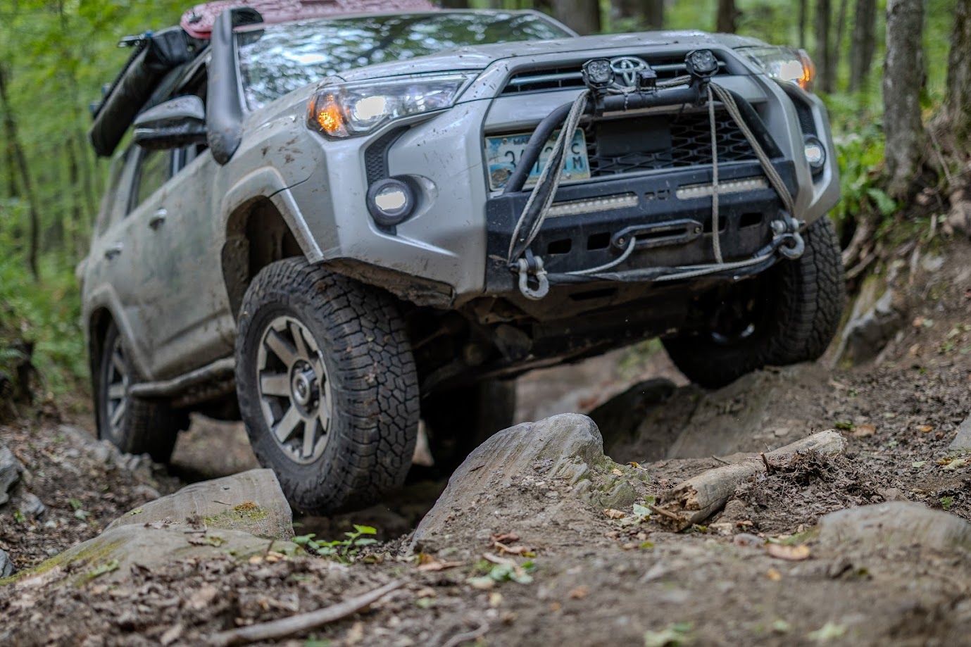
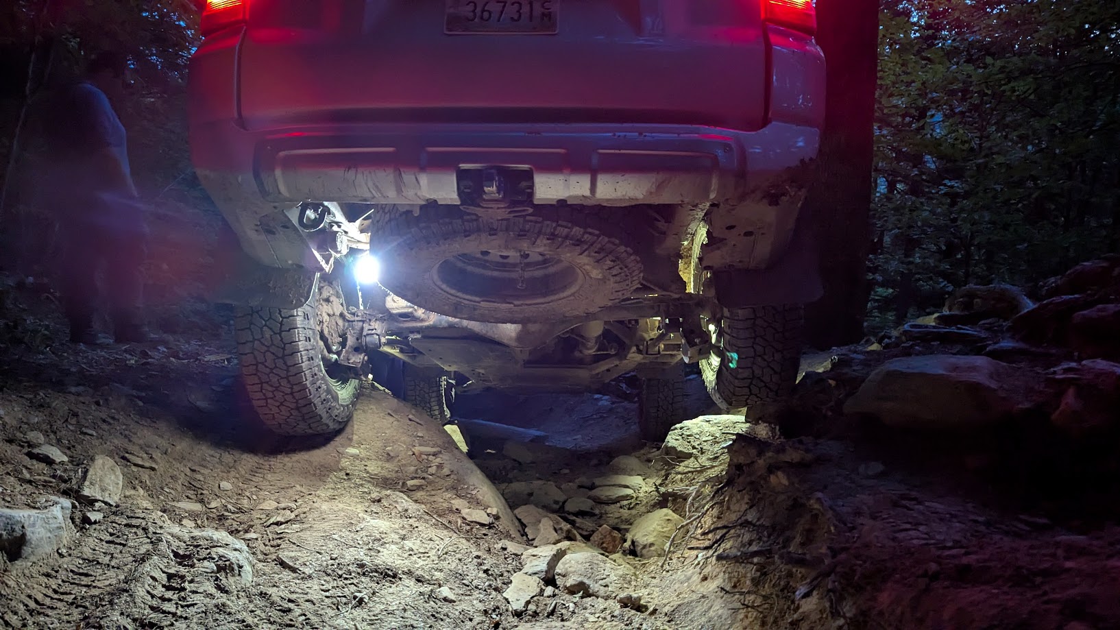
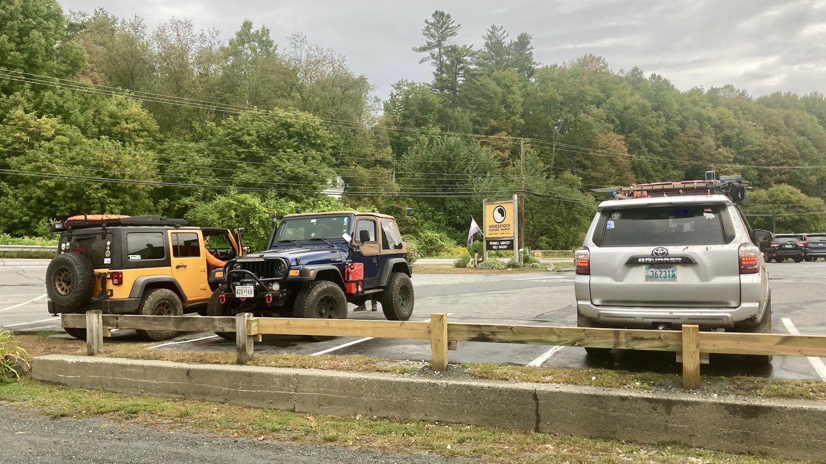
So we turned around and went back through the trail, uphill this time and in the rain. The wet rocks had zero traction, making for some interesting climbs! Ben’s 4Runner required a winch in a few spots to get him up the rock ledges. We were able to repair our disabled vehicle and headed to our planned lunch spot, Woodstock Farmers Market, at 5PM.
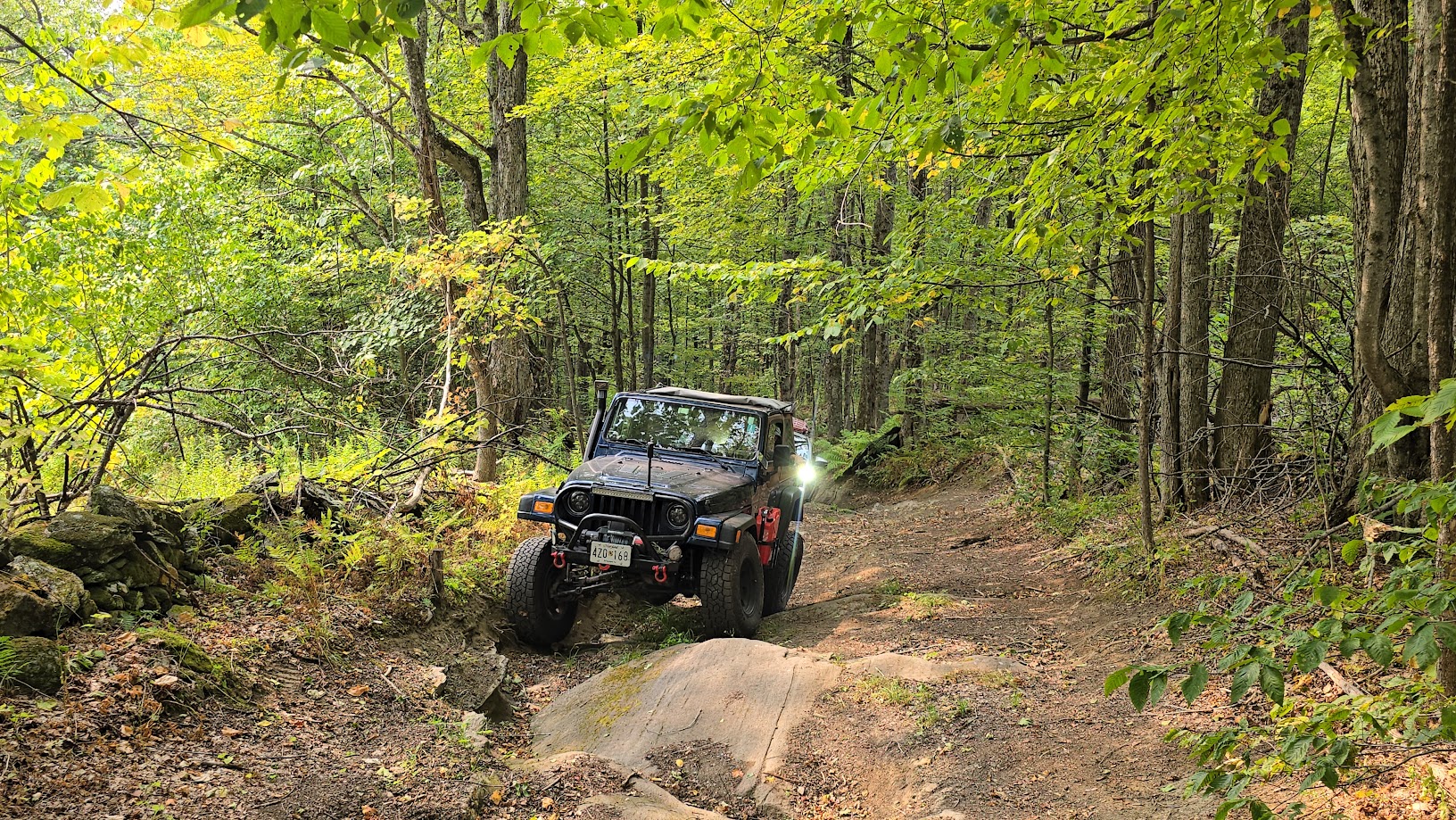
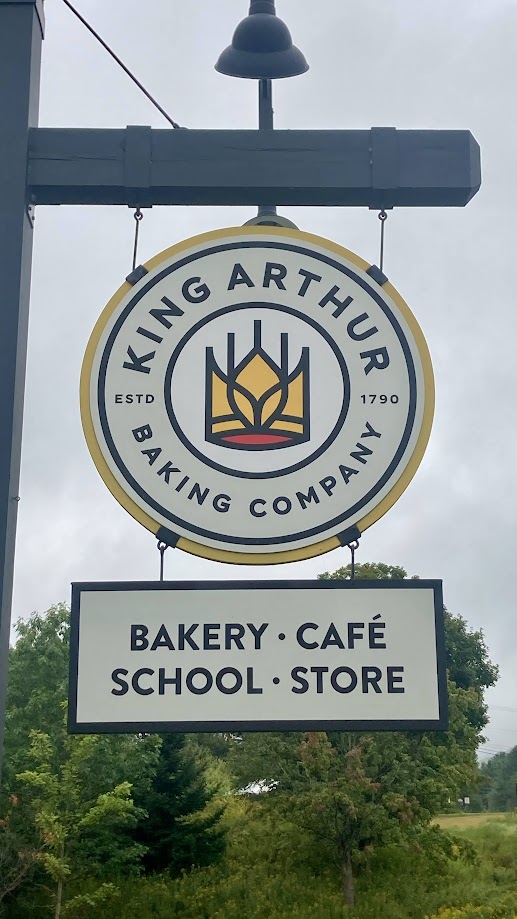
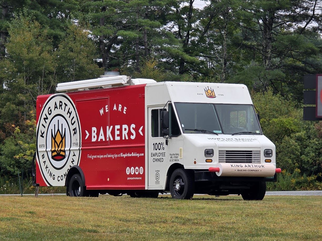
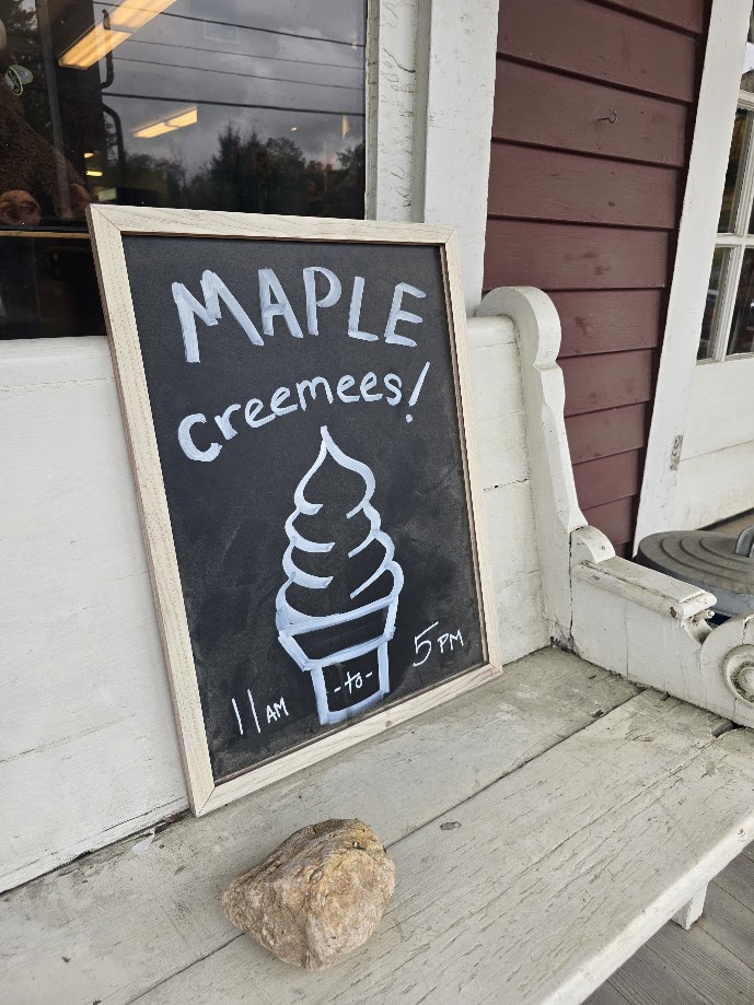
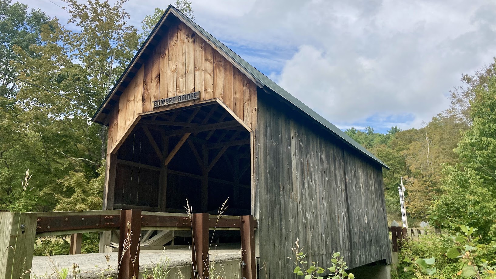
After the intense wheeling on Friday and Saturday (Ben and Jendra said that it was the hardest off-roading they have done so far!), we wanted something a little less stressful and more relaxing on Sunday. We started by taking paved roads up to King Arthur Baking Company for breakfast and some shopping, before continuing on scenic paved, gravel and dirt roads. We checked out two easy class 4 roads and drove through a few covered bridges as well. We stopped for Maple Creemees (a local ice cream delicacy!) on the way back to camp and most of the crew started home. It was a 9+ hour drive each way for most of us, but I think that it was worth it!
Friday
Profile
No data
No data
No data
No data
No data
No data
Duration:
No data
Saturday
Profile
No data
No data
No data
No data
No data
No data
Duration:
No data
Sunday
Profile
No data
No data
No data
No data
No data
No data
Duration:
No data
Trail Report written by Matt Malone. Pictures contributed by Jendra Rambharos, Ben Dunkerton, Matt Malone, Brian Souhan, and Robert Dooley. GPS Tracks provided by Jendra Rambharos and Ben Dunkerton.