There are a decent number of gravel roads in Virginia around Flagpole Knob and in West Virginia between Canaan Valley and Spruce Knob so a trip was planned to explore these areas.
Attendees:
- Ben – Toyota 4Runner and Trailer
- Jendra – Jeep Gladiator
- John – Jeep Gladiator
Jendra and Ben met in Harrisonburg on Thursday afternoon and headed up Union Springs. This was the first time on Union for Ben’s trailer and Jendra’s Gladiator and both handled it great without taking any bypasses! Several of the puddles were at least 2 feet deep in spots!
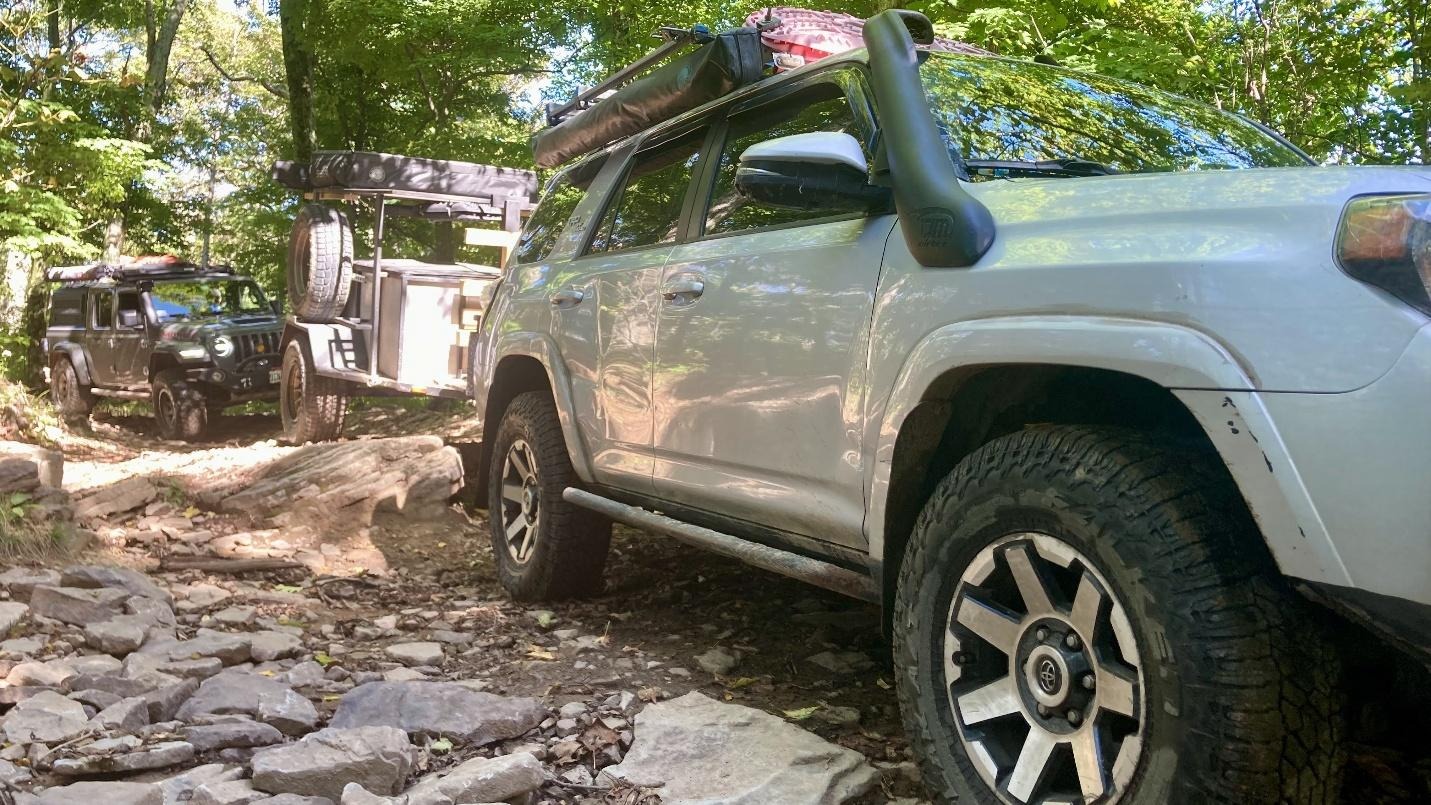
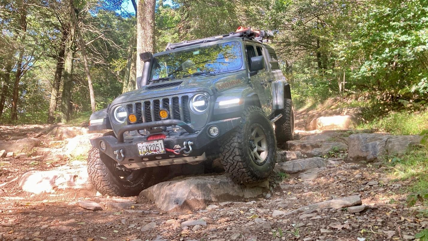
Camp for the night was Meadow Knob which offered beautiful views right from camp.
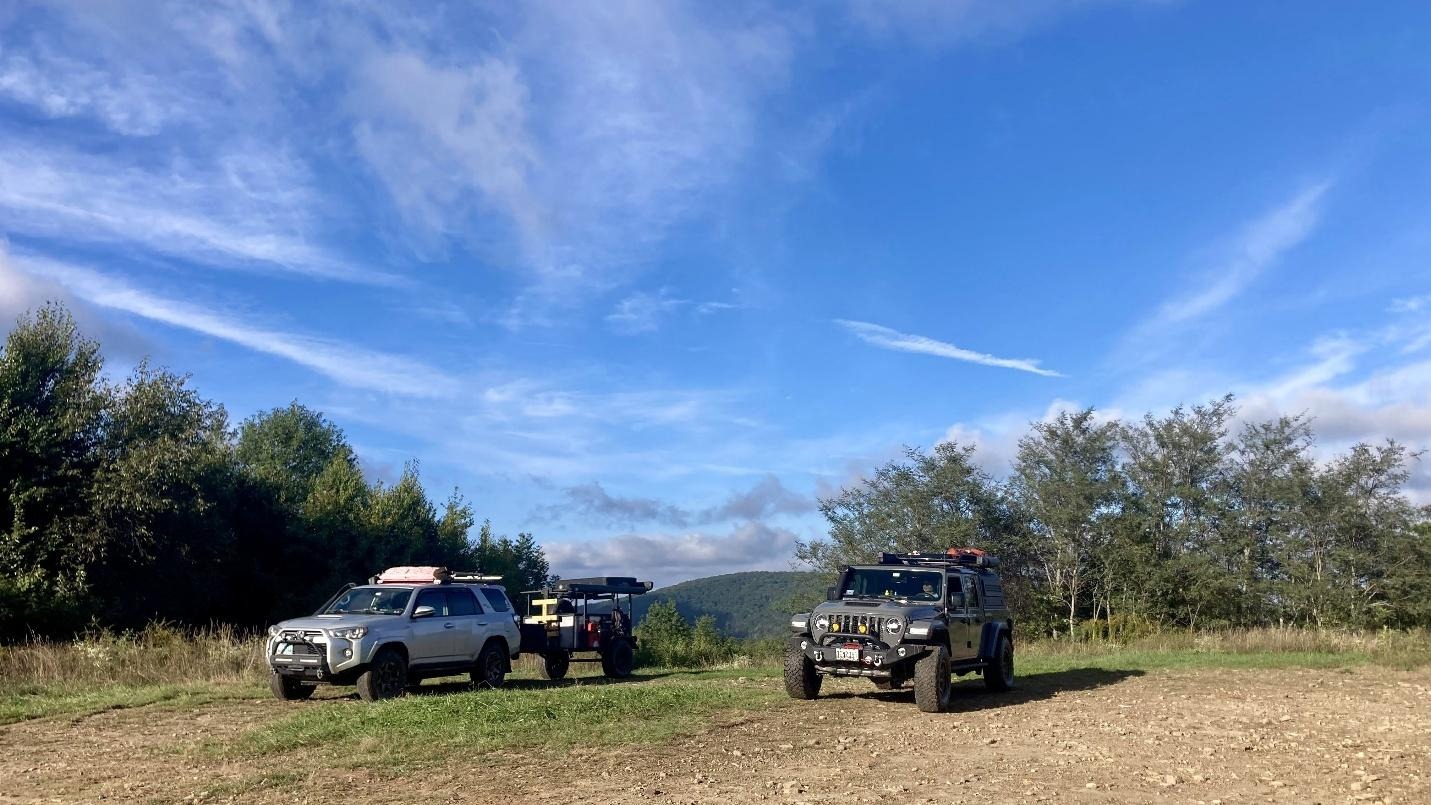
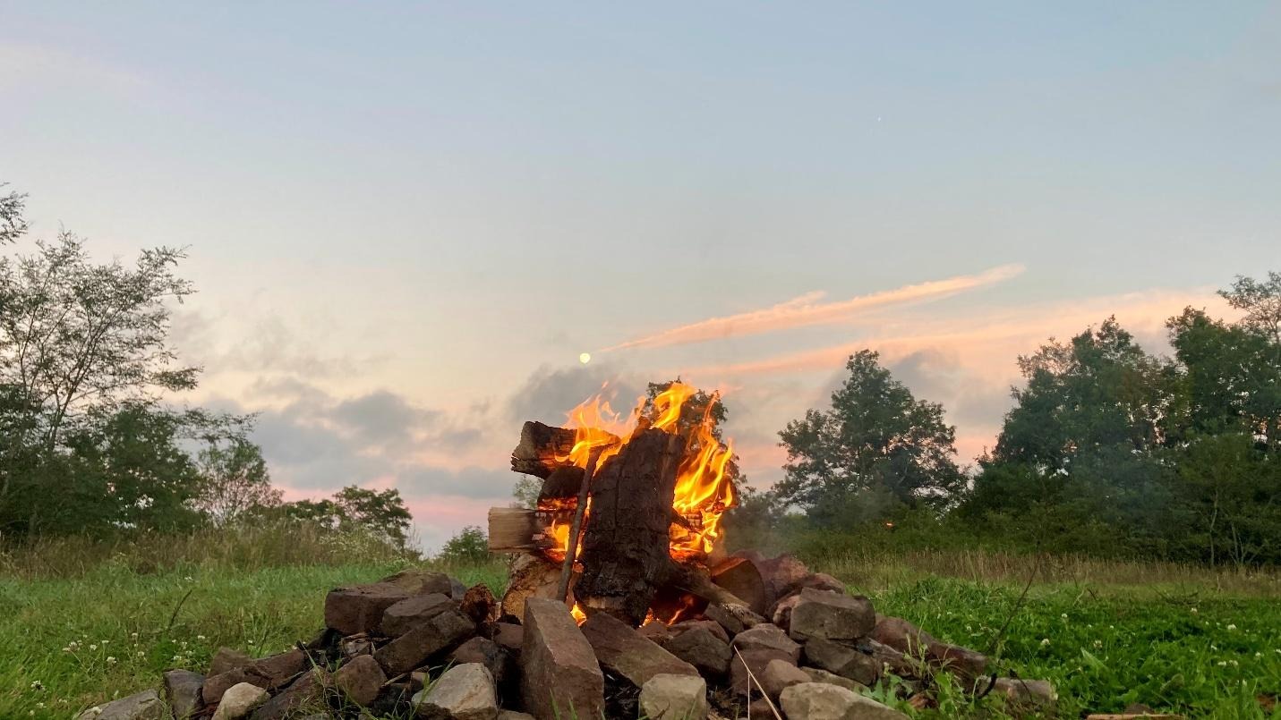
Friday morning was cold with wind chills in the upper 20s to low 30s! Jendra and Ben quickly packed and finished Union Springs to meet John at Reddish Knob.
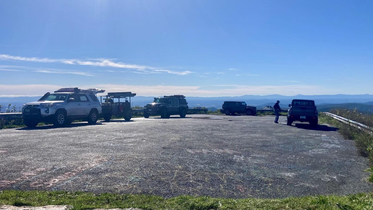
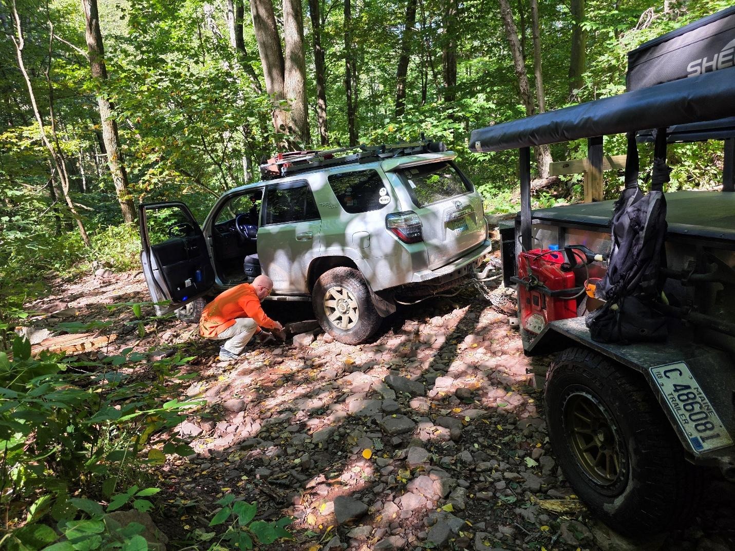
From there the group headed down Dunkle Hollow. Ben proved that you can get stuck going downhill when a large boulder in the middle of a switchback caught him by surprise. With a little bit of rock stacking, he was able to free himself and continue down the trail. Once the group got to Switzer Lake, they stopped for lunch and switched the trailer over to Jendra’s Gladiator so he could see how the truck handled a small trailer on the trails.
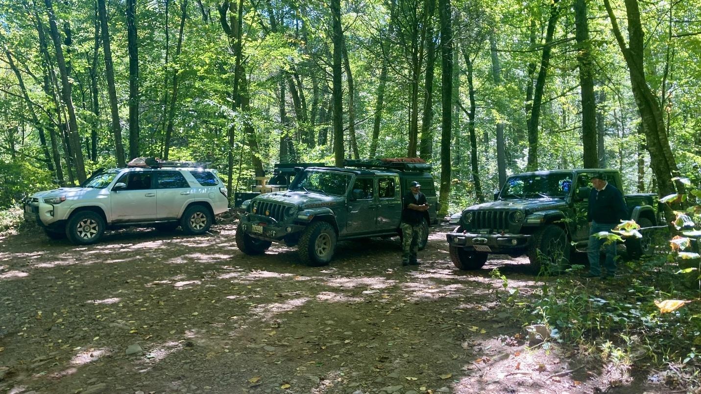
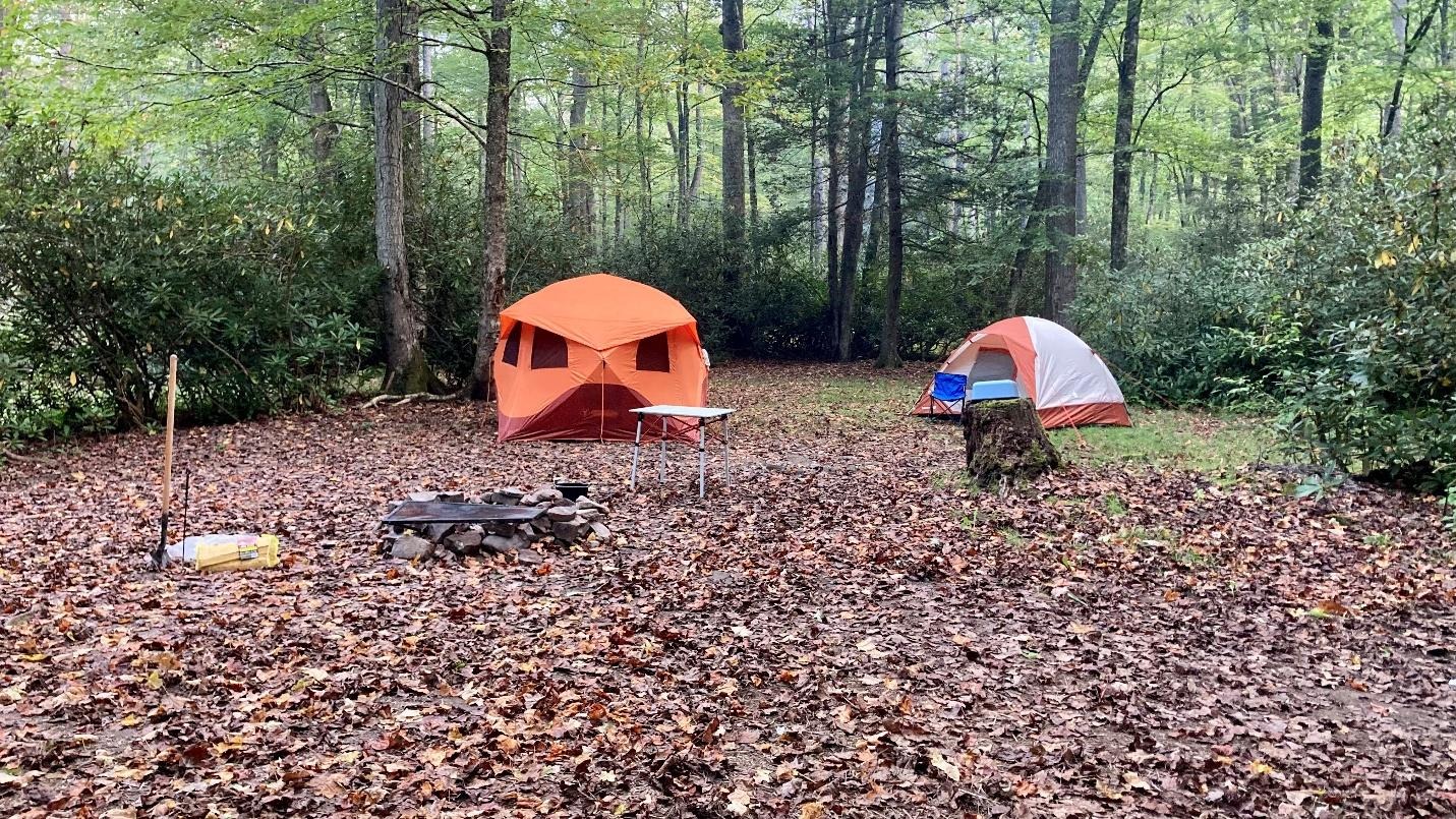
After lunch the group headed up Route 33 into West Virginia and turned onto Westside Road. Westside Road was a scenic gravel road that was milder than Dunkle Hollow. Upon exiting Westside Road, the group headed to Lower Gladys Dispersed Campground where they stayed Friday and Saturday night.
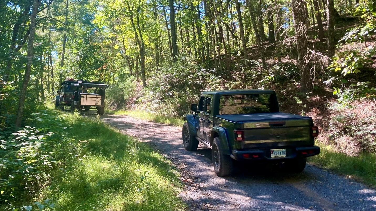
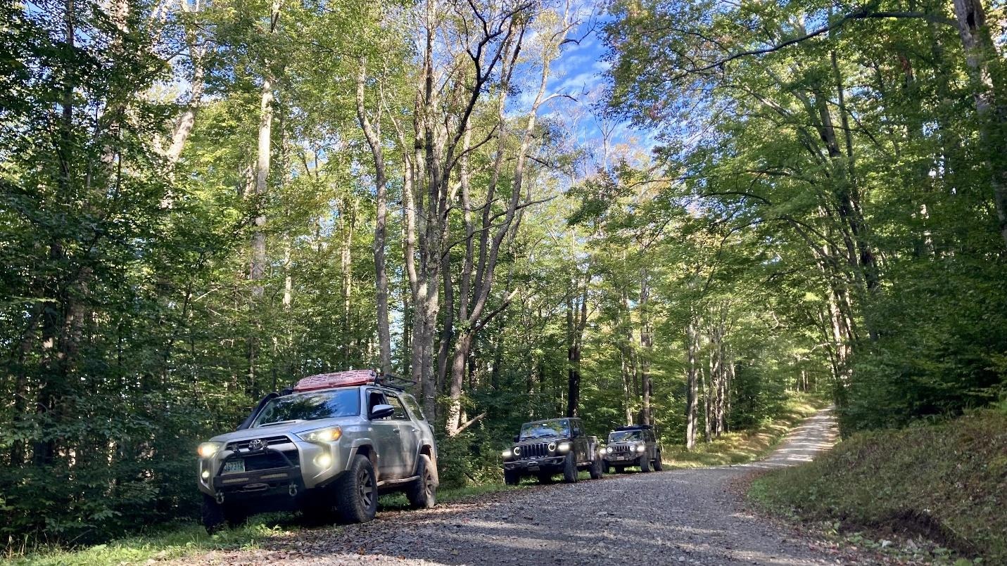
Saturday the group did an approximately 80 mile loop between Cannan Valley and Spruce Knob with a significant portion of those miles on some of the best gravel roads the group had ever seen! The scenery was spectacular with hints of the leaves starting to change. A stop at Spruce Knob Lake provided a great lunch spot and the opportunity for an easy 1 mile walk around the lake.
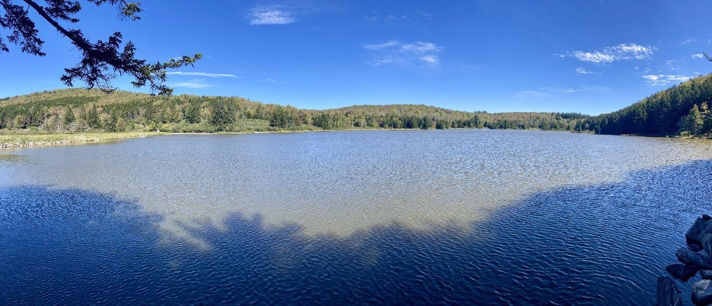
It was a great weekend of exploring with amazing scenery. If you want to explore this area, make sure to save lots of offline maps because cell service is spotty especially in this area of West Virginia!
Trail Report written by Ben Dunkerton. Pictures contributed by Jendra Rambharos & Ben Dunkerton. GPS Track provided by Jendra Rambharos.
Route
Profile
No data
No data
No data
No data
No data
No data
Duration:
No data
Route
Profile
No data
No data
No data
No data
No data
No data
Duration:
No data
Route
Profile
No data
No data
No data
No data
No data
No data
Duration:
No data