
The Backcountry Discover Routes (BDRs) are “are routes across a state or region, that travel south to north, and specifically designed for off road travel on dual sport and adventure motorcycles. BDRs are created using forest service roads, fire roads, two track and other big-bike friendly backcountry trails on public lands.” (Source: https://ridebdr.com/). While they are designed for motorcycles the routes are on public roads open to full-size vehicles. There are numerous BDRs throughout the country. The Mid-Atlantic BDR (MABDR) is regarded as one of the easier routes but it’s close proximity to the DC Metro area makes it an attractive option for a trip. The BDR routes can be downloaded from the BDR website for free, so it makes an easy trip option without having to do a lot of planning. Armed with the BDR route the following group gathered to see how much of the MABDR route we could accomplish in one weekend (the fact that it was all Toyotas was just a coincidence!).
Attendees:
- Ben – Toyota 4Runner and Trailer
- Matt M. – Toyota 4Runner
- Robert D. – Toyota 4Runner
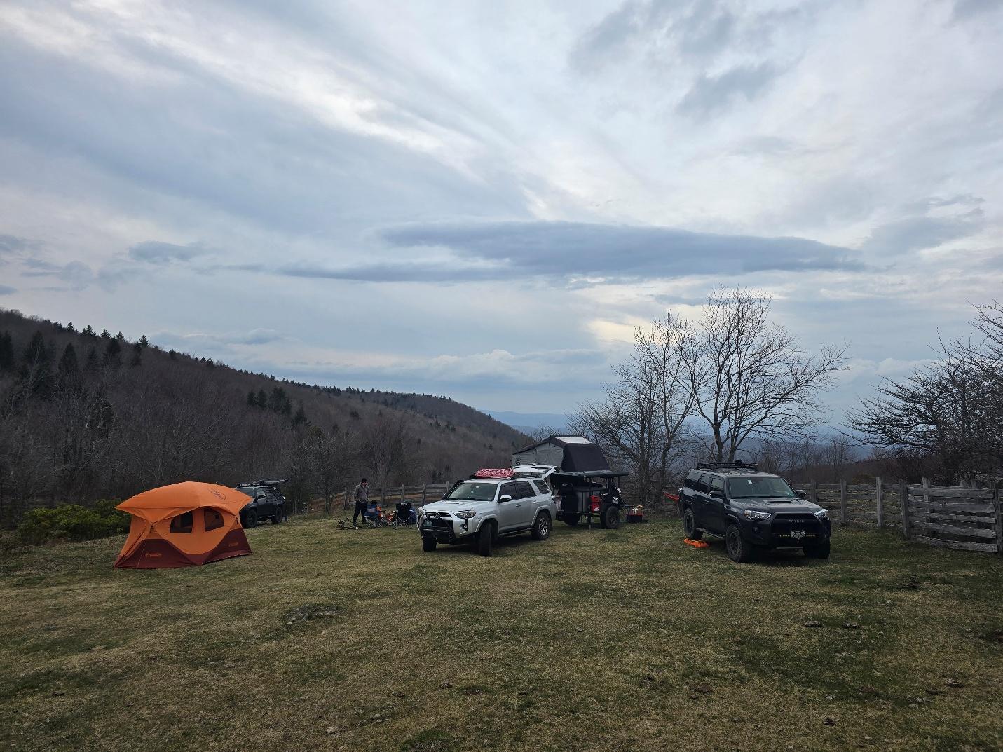
As we researched the route it was decided to camp the first night at Scales Campground, which is a beautiful spot on the Appalachian Trail that you can drive to and dispersed camp that has wild horses just outside the camping area! There were also several other areas that we identified for exploration that were just off the main MABDR route. We quickly realized that getting anything more than the first segment done was not going to happen!
Day 1:
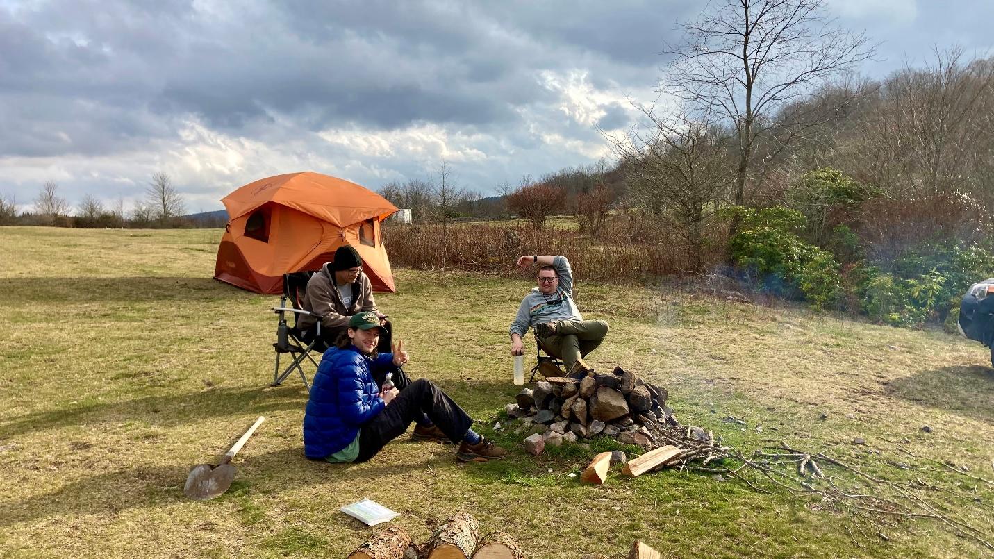
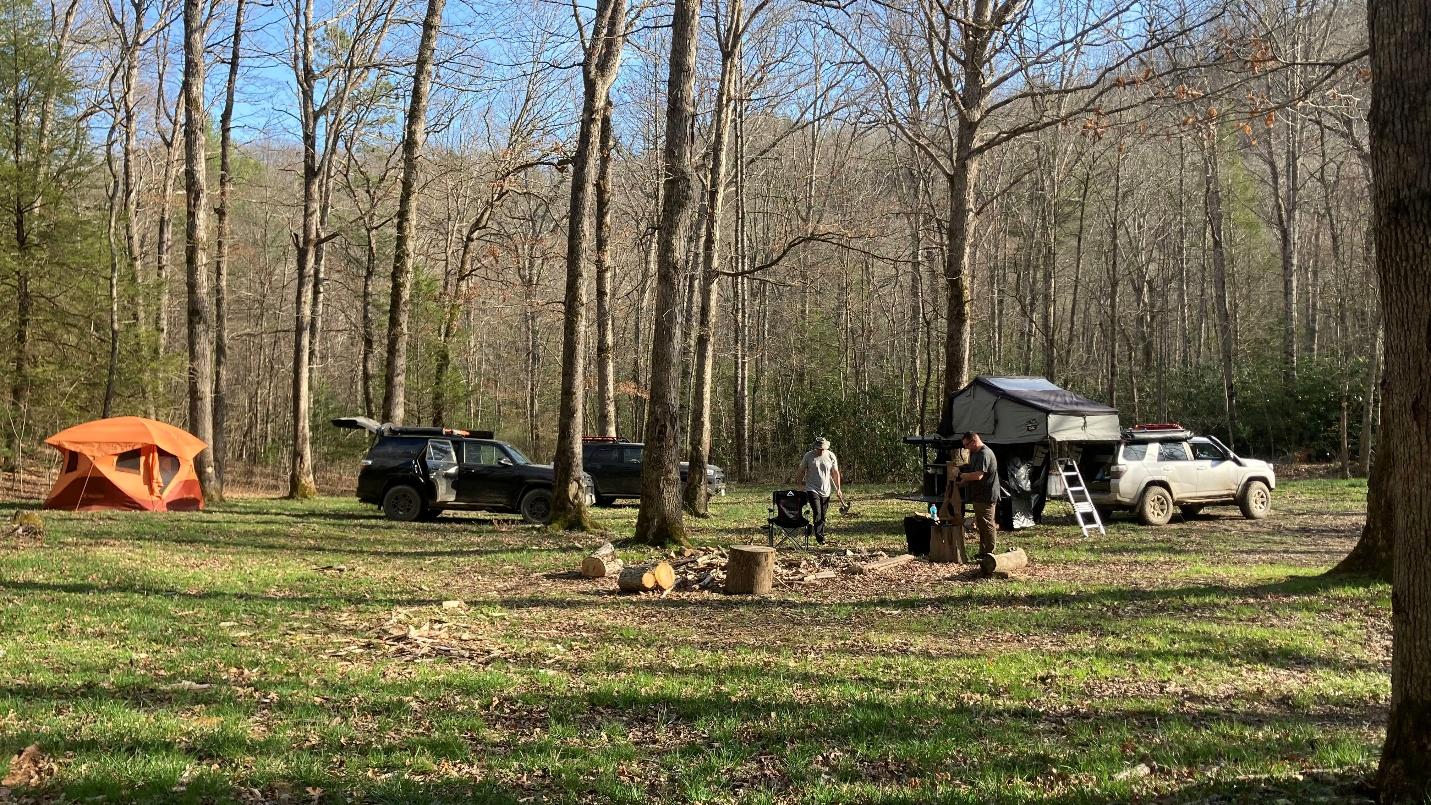
We all met up on the road up to the Scales, Matt and Ben at the bottom, and Robert part way up as Ben and Matt collected firewood. After setting up camp, Robert and Matt went for a hike while Ben finished setting up his new (to him!) trailer and tent. On their hike, they met a through hiker who ended up camping with us for the night.
Day 2:
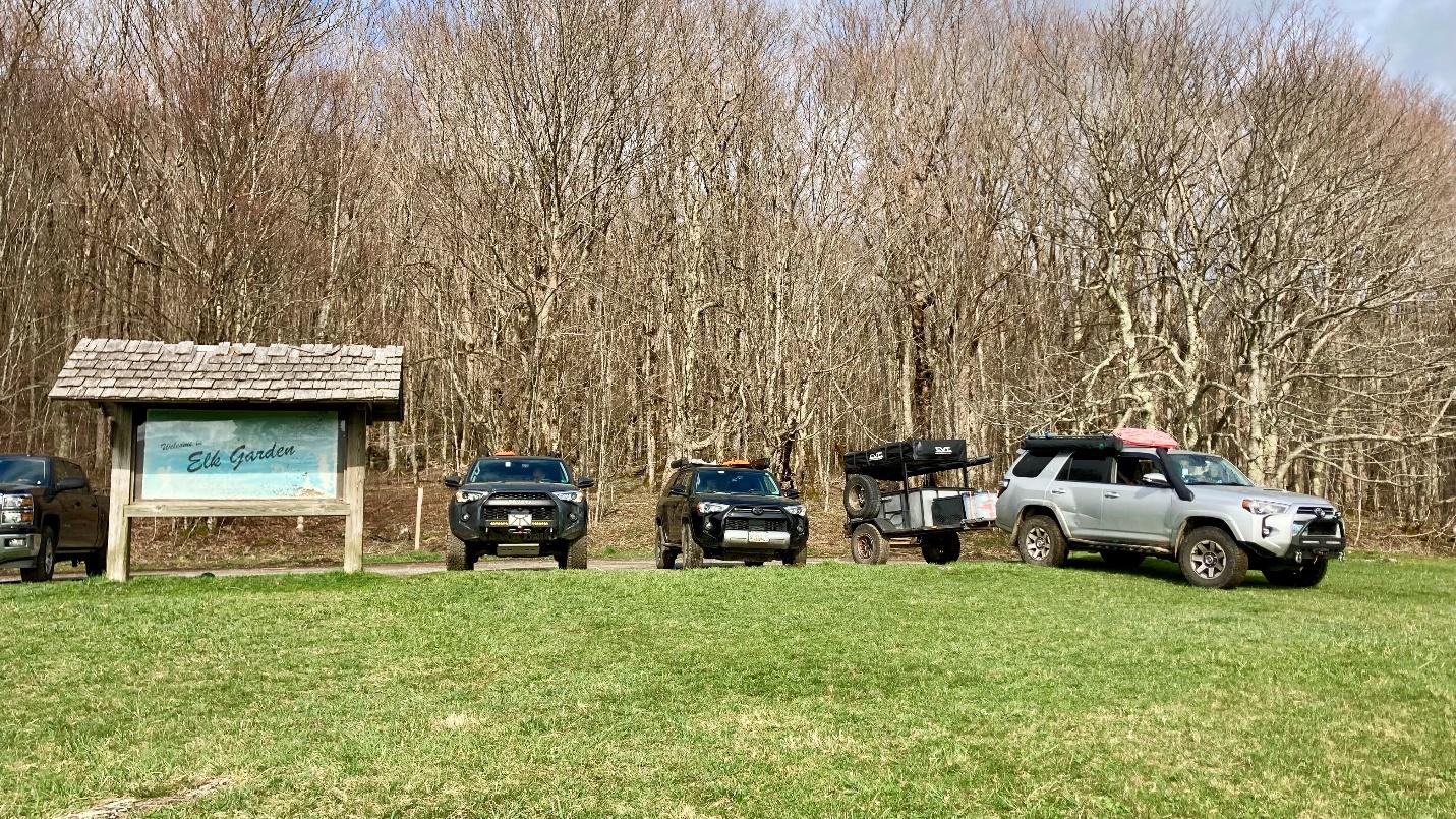
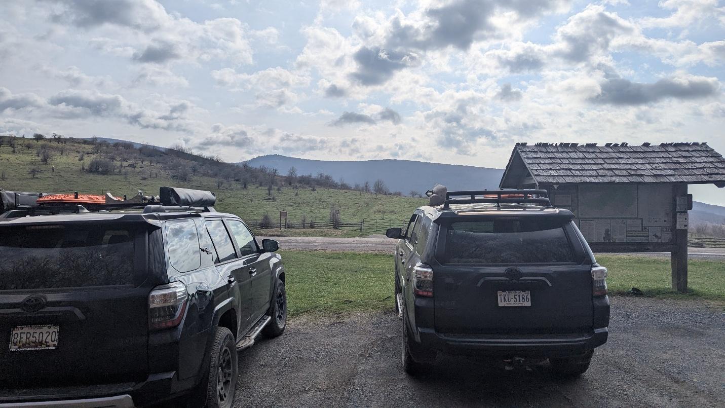
We were up and, on the road, shortly after breakfast to see how much ground we could cover. After making it back down the road to the Scales we hit the road towards the start of the MABDR at the Tennessee border. We made a brief stop at Elk Garden so Robert could make a work call while Matt and Ben went for a brief hike.
After that stop we made our way up Whitetop Mountain, which offer some dispersed campsites with incredible views.
After our exploration of Whitetop Mountain, we headed to the MABDR where we stopped for lunch at a waterfall.
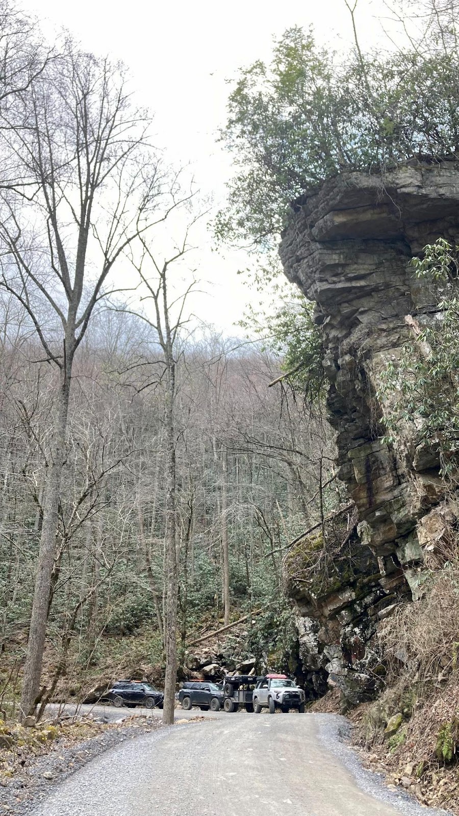
After lunch we put the pedal down to cover some miles to get to a dispersed campsite for the night between the towns of Atkins and Tazewell. After poking our noses down some dead-end roads and driving around for a bit we found a big campsite right on the main road.
Day 3:
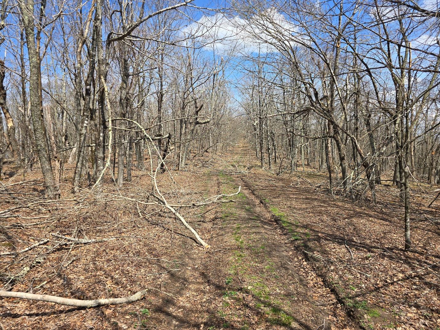
The next morning, we set our eyes set on exploring Burke’s Garden. Burke’s Garden is farming community with an Amish population located in the highest valley in Virginia. There are only two public routes in, the paved road from the north and a well-graded gravel road from the south. We came in from the north and explored the valley with a stop at the general store for some Amish made goodies! We exited the valley to the south and decided to eat lunch at a dispersed campsite on Walker Mountain Road we had saved on our maps. We were glad we didn’t end up camping there since it was muddy and buggy! After lunch we decided to do some more exploring along Walker Mountain Road. We encountered a lot of downed trees and limbs which we cleared as we went.
After we finished exploring, we were all hot and tired and decided to wrap up the trip then. We couldn’t part ways on empty stomachs, so we headed into town for dinner at Bojangles. From there we said our goodbyes, happy with all that we had seen on this trip! It is hard to put into words all the breathtaking scenery we saw, and the area still hadn’t started experiencing the spring bloom! We are all eager to explore more of the MABDR. On his way home, Ben decided to break up his trip and camp along Cub Run Road near Massanutten Resort which offers some very nice stream side camping!
MABDR
Profile
No data
No data
No data
No data
No data
No data
Duration:
No data
Trail Report written by Ben Dunkerton. Pictures contributed by Ben Dunkerton, Matt Malone, and Robert Dooley. GPS Tracks provided by Ben Dunkerton.