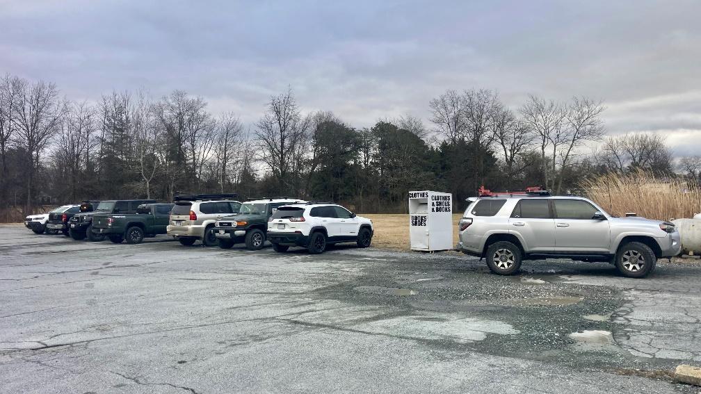
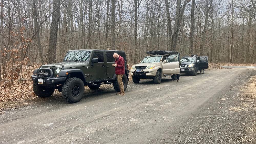
A group of us decided to do a little exploring in Michaux (pronounced mi-show) State Forest in southern Pennsylvania near Gettysburg. We met just over the Maryland line in Blue Ridge Summit, PA for our drivers meeting.
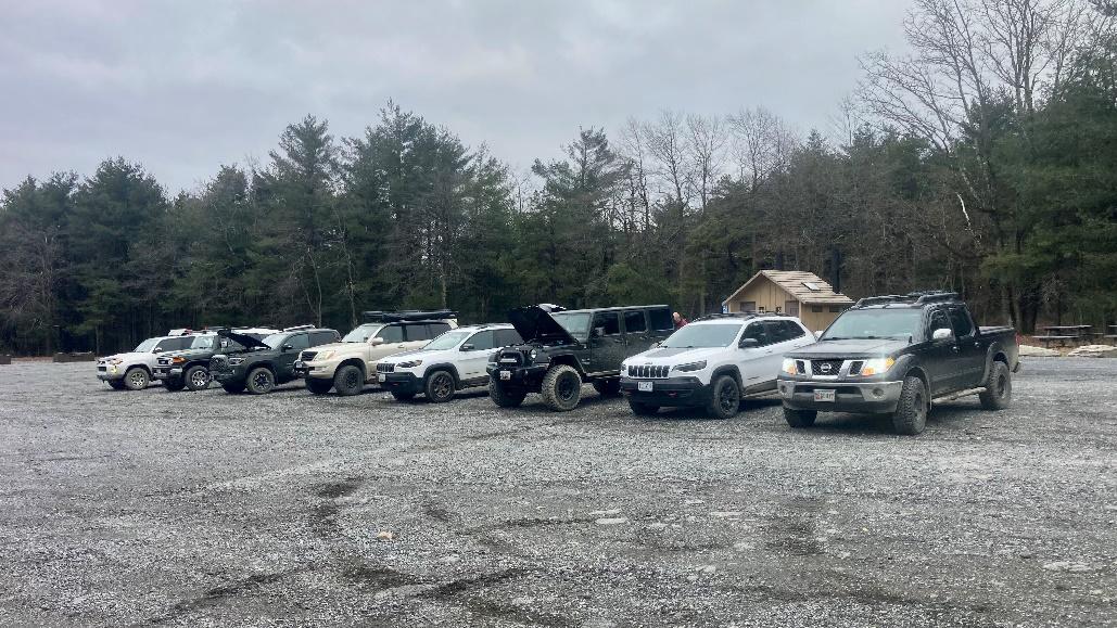
Attendees:
- Ben, Joy, & Naomi – 2014 Toyota 4Runner
- Javi & Wife – Toyota FJ Cruiser
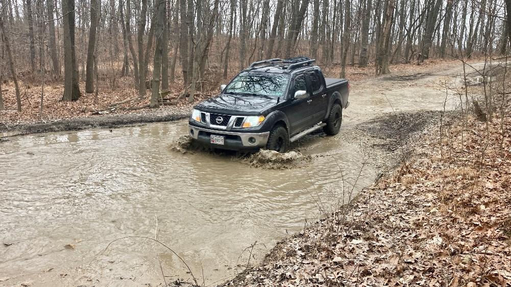
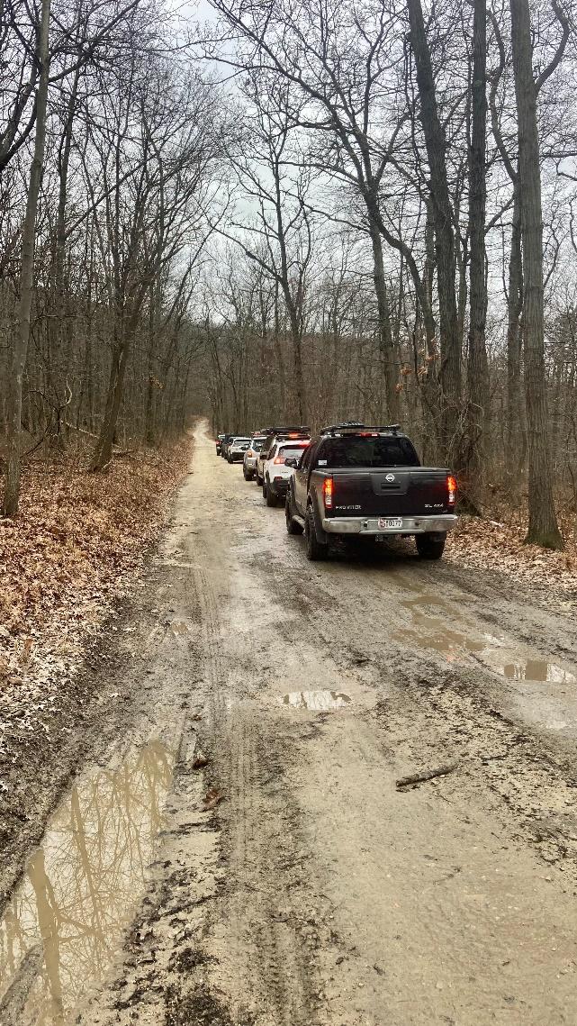
- Steve S. – Nissan Frontier
- John – Toyota Tacoma
- Miguel & Alex – Lexus GX470
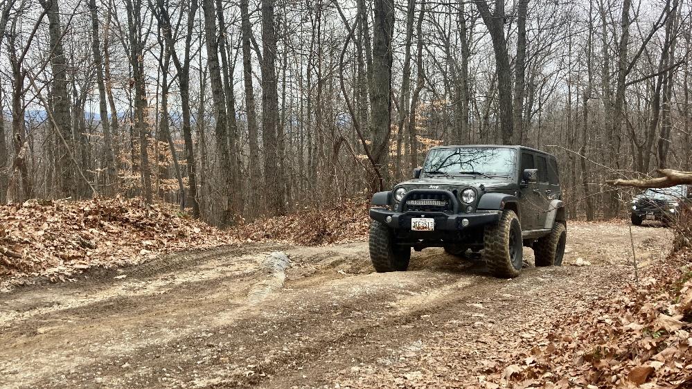
- Bill – Jeep Cherokee Trailhawk
- Darren & Susan – Jeep Wrangler
- Mike – Jeep Cherokee Trailhawk
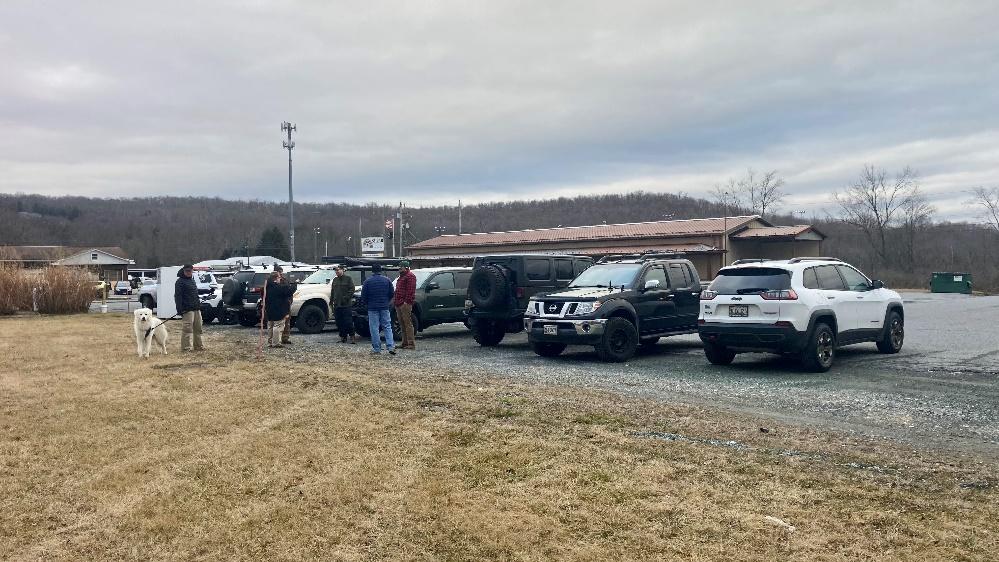
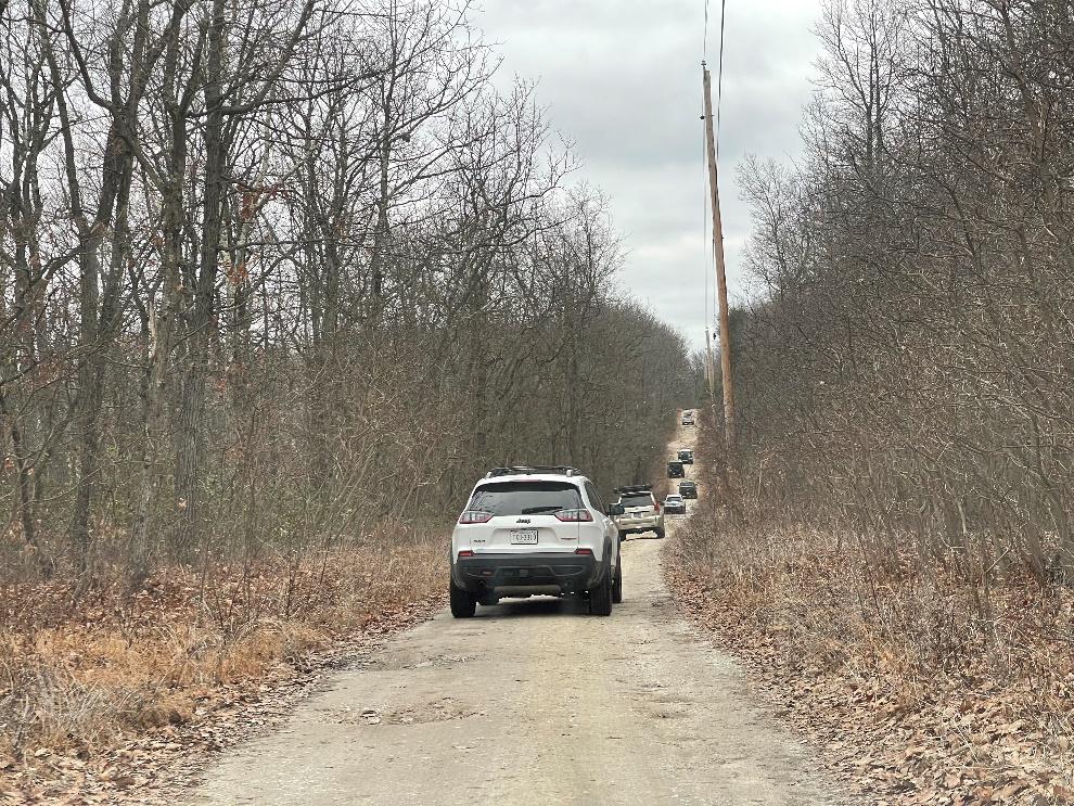
A short drive from here we entered Michaux State Forest and stopped to air down at the beginning of the forest roads.
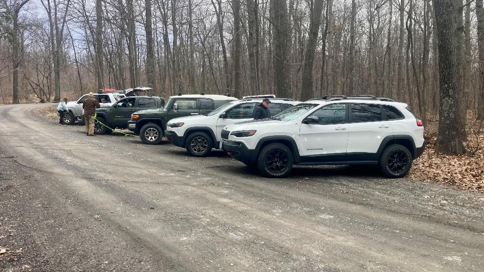
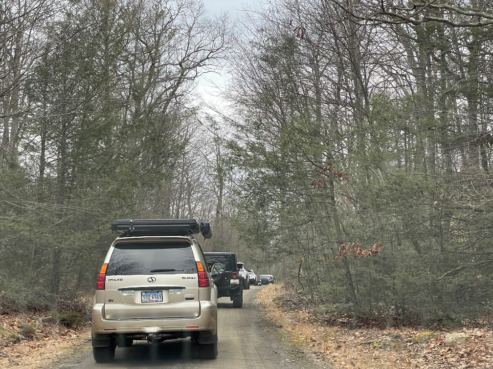
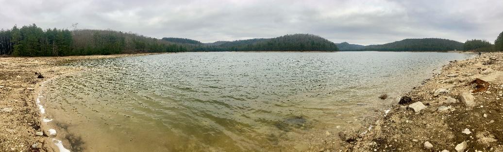
From here it was a leisurely drive on easy forest roads with short stretches of pavement mixed in. In this leg we took a quick break at Long Pine Reservoir to soak in the view. After a 45 mile drive that traversed the park from south to north, we took a short pit stop at Sheetz in Mount Holly Springs, PA.
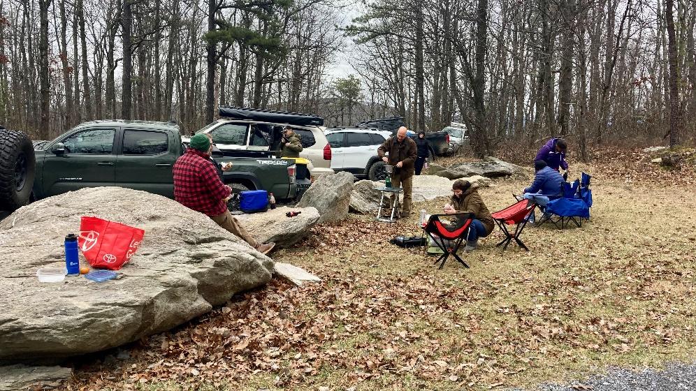
From there we headed back into the forest and found our most exciting stretch of road for the day. The first 5 miles of Ridge Road off of PA-34 (Baltimore Ave) was more rocky with some washouts and puddles that allowed us to flex our rigs and have a little fun. This stretch of road ended at Hammond Rocks where we took a break for lunch.
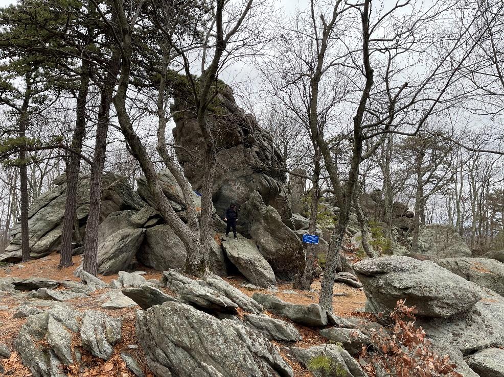
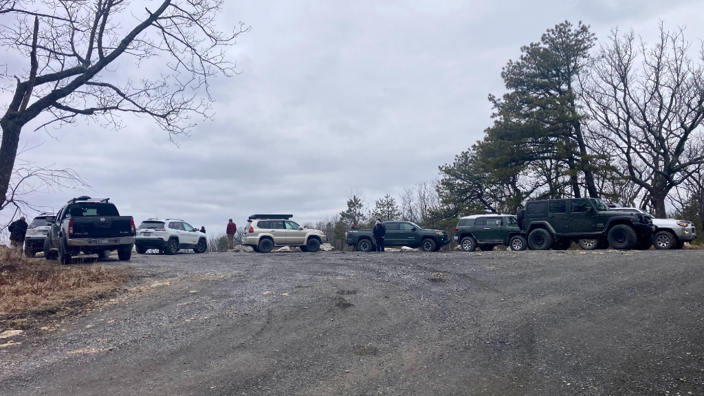
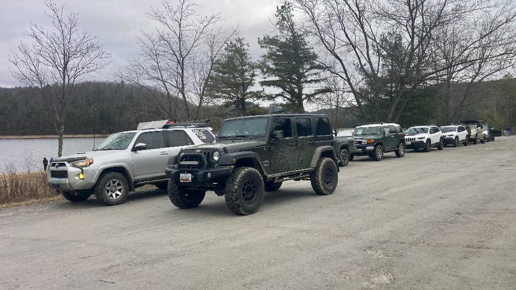
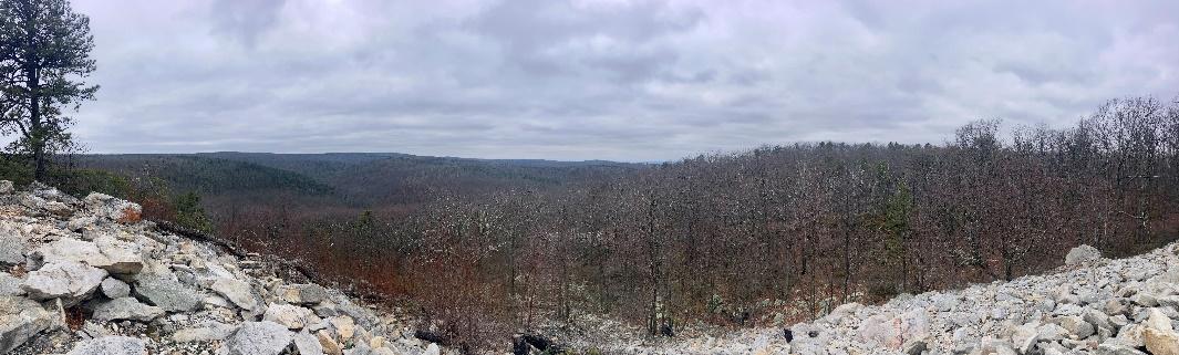
After lunch we got back on the road, mostly backtracking on roads we had been on earlier in the day except for a loop we did on Hogshead/Big Pond Hollow Road. This loop went by the Buzzard Rock Overlook which provided impressive views of the valley below.
From here we proceeded to the Big Flat ATV lot at which point we had covered 70 miles from our driver’s meeting! Here everyone was given an option of airing up or doing a little more exploring. Everyone except for Steve and I decided to air up and head for home.
Steve and I did another 10 miles before we decided to air up and head home.

Michaux Track
Profile
No data
No data
No data
No data
No data
No data
Duration:
No data