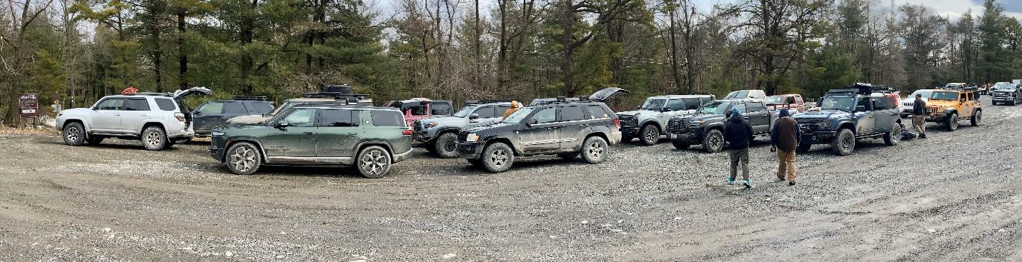
It has been a goal of mine to drive the full north-south length of Michaux (pronounced mi-show) State Forest for some time now. With a route picked and a large group of people on-board for the adventure, the following group met at the Walmart in Carlise, PA.
Attendees:
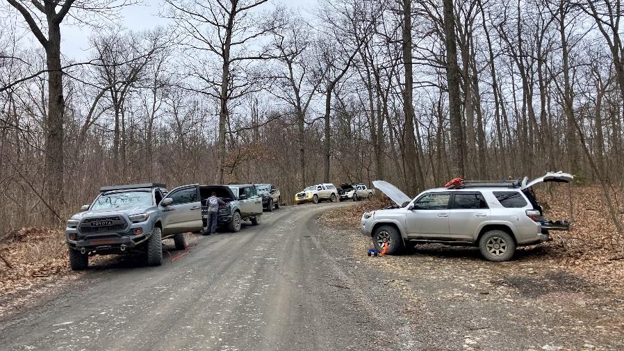
- Ben, Joy, & Naomi – Toyota 4Runner
- Jendra – Jeep Wrangler JK
- Steve S. – Nissan Frontier
- Jeff K. – Land Rover Defender
- Viran – Ford Bronco 4 door
- Brett and Stella – Jeep Grand Cherokee
- Sam V. – Rivian SUV
- Michael R. – Ford Bronco 2 door
- Matt M. – Toyota Tacoma
- John K. – Toyota Tacoma
- Lucas and Talita – Toyota Pickup
- Bill and LeoLa Lee – Jeep Grand Cherokee
- Robert D. – Toyota 4Runner
- Marco M. – Toyota Tacoma
- Brian and Kelly – Jeep Wrangler JLU
- Sean and kid – Ford Bronco 4 door
From Walmart it was about 6 miles to our air down spot at the start of Ridge Road.
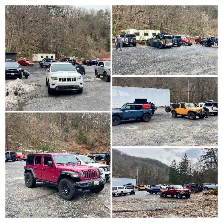
After we aired down, we formed a [very long] convoy and drove the full length of Ridge Road (approximately 30 miles). The first 5 miles of Ridge Road are a bit rocky with some washouts and puddles that make you think a little about line choice while still being easy enough that almost any 4WD vehicle can make it through. After 22 miles on Ridge Road, we detoured down Shippensburg Road to the Big Flat ATV Parking Lot for lunch.
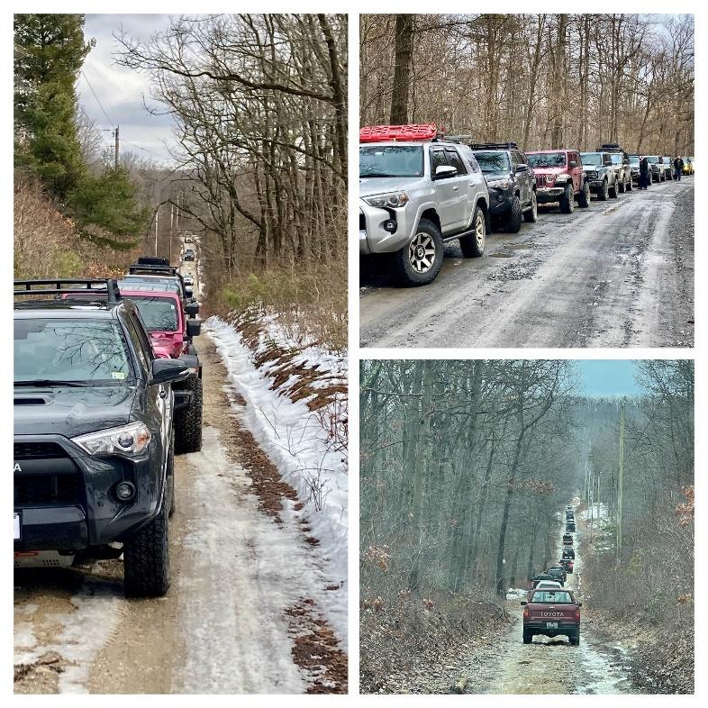
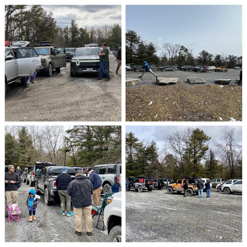
After lunch we finished the remainder of Ridge Road which put us on Route 997 near Route 30 between Fayetteville, PA and Caledonia State Park. After a short stretch of pavement, we jumped back onto unpaved roads near the Cydonia Sand Quarry. We zig-zagged our way along various gravel roads with short stretches of pavement to achieve our goal of reaching the south end of Michaux State Forest near Waynesboro, PA. Those who needed to air up pulled off the road to put some air back in the tires and make our way home. From start to finish, the route was about 50 miles, which was easy to achieve in one day even with a longer stop for lunch.
Track
Profile
No data
No data
No data
No data
No data
No data
Duration:
No data
Trail Report written by Ben Dunkerton. Pictures contributed by Ben Dunkerton, Jendra Rambharos, Steve Schueler, Robert Dooley, and Lucas B, Brett Gearing, and Brian M. GPS track provided by Jendra Rambharos.