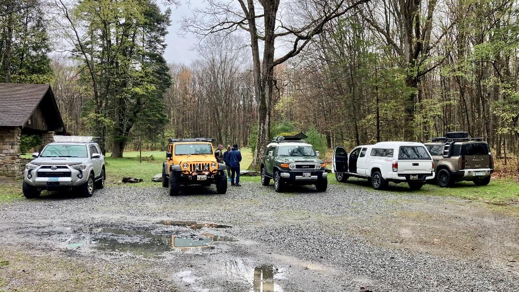
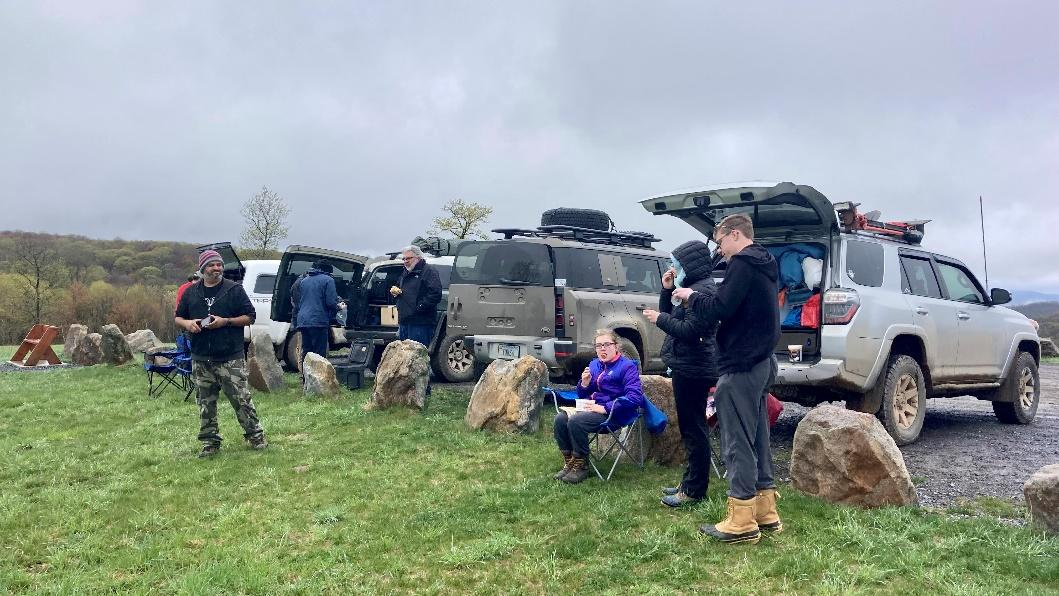
Attendees:
- Ben D. (and three kids) – Toyota 4Runner
- Jendra – Jeep JKU
- Javi A. and Jason G.- Toyota FJ Cruiser
- Jeff K. – Land Rover Defender
- Matt M. – Toyota Tacoma
The Pennsylvania Wilds is a 2.1 million acre of public land that is one of the largest expanses of green between New York City and Chicago (info from PAWIlds.com)! On this trip we explored an area northwest of State College, PA. The launching point for this trip was Black Moshannon State Forest Campground where we stayed Friday night.
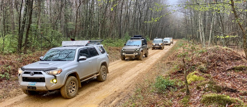
Saturday morning, we held our drivers meeting and set out north from the campground.
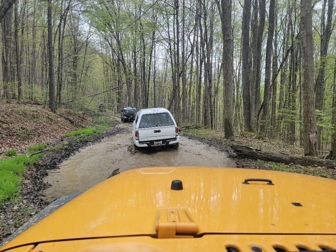
The roads were not super challenging but a fun mix of mud and gravel with several large (but not super deep) puddles due to the recent rains. After a short stretch on these roads we headed north on pavement.
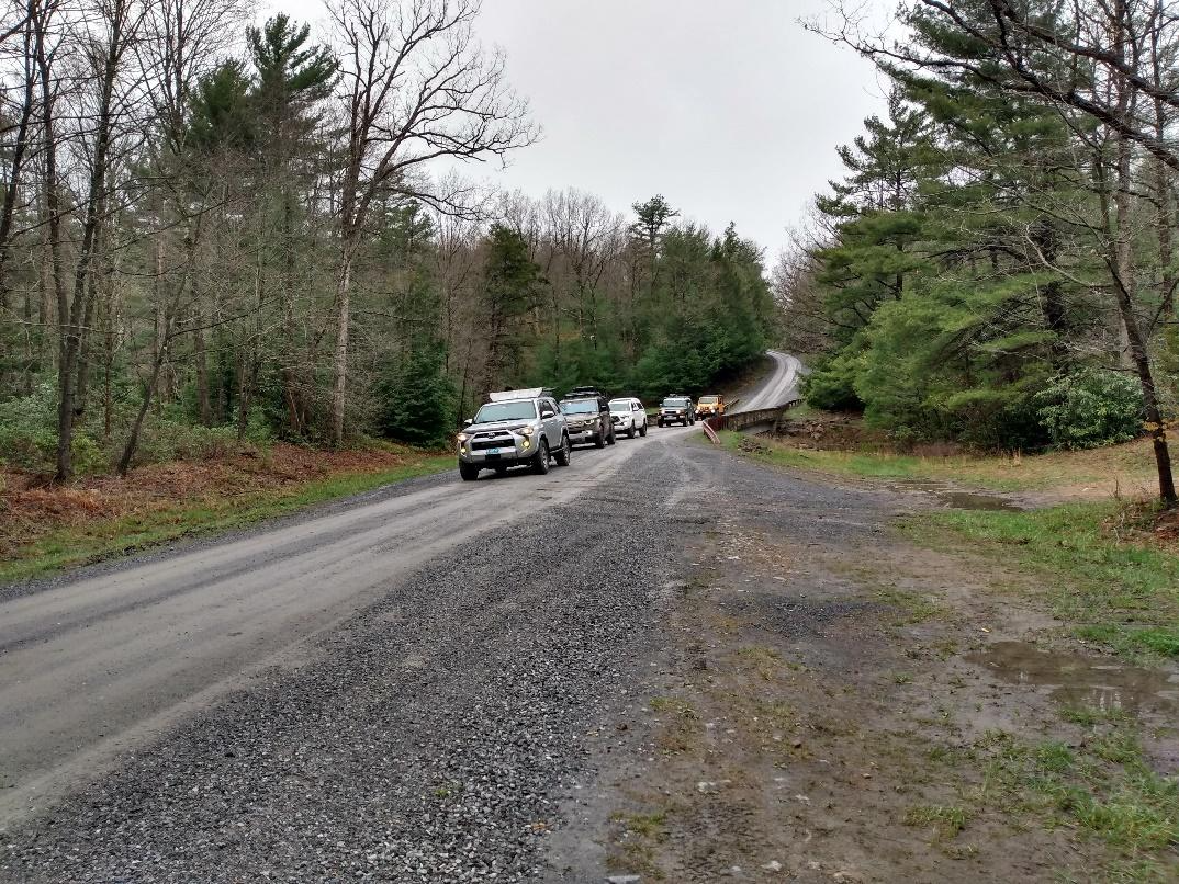
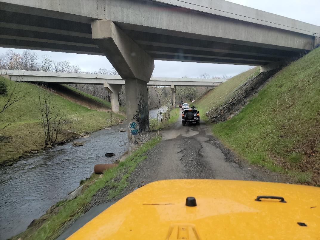
We turned off the pavement and found more muddy roads! After this we hit pavement where we turned towards the tiny town of Driftwood. Our destination was the mild gravel road that would lead to an overlook that would serve as our lunch spot.
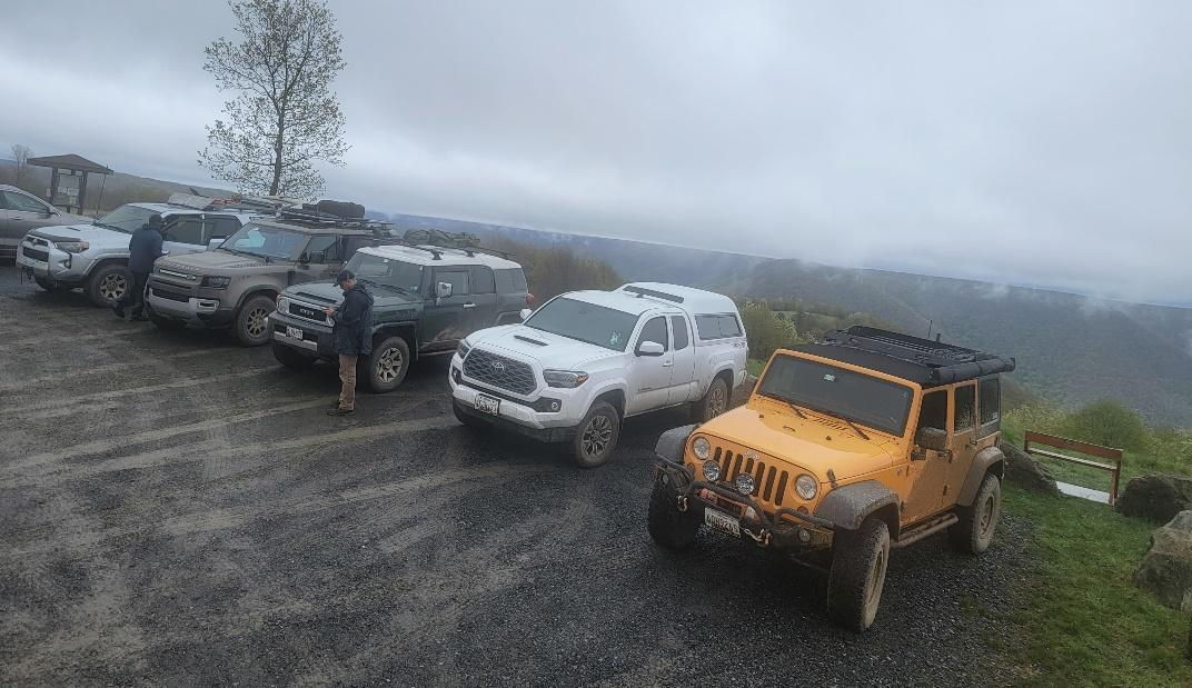
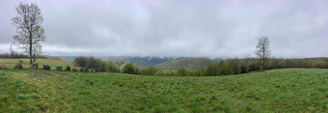
Bucktail (aka Top of the World) Overlook offers impressive views of the surrounding mountains and didn’t disappoint despite the low clouds and patchy fog!
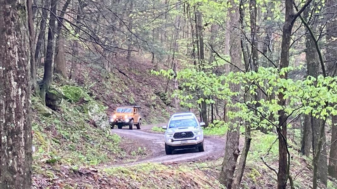
The highlight of our after lunch exploration was Mix Run Road which Pennsylvania Forest Service classifies as a “Drivable Trail”. These roads are generally not passenger car friendly and require a higher clearance 4×4 vehicle to navigate safely. The road started with a rocky stream crossing that was the most challenging part of the road. The rest of the road was a fun mix of mud puddles, rocks, and steep drop offs. 4 miles in we discovered that our plan to drive the entire length of the road wouldn’t happen due to several large trees that were down across the road. We turned around and backtracked out the way we had come.
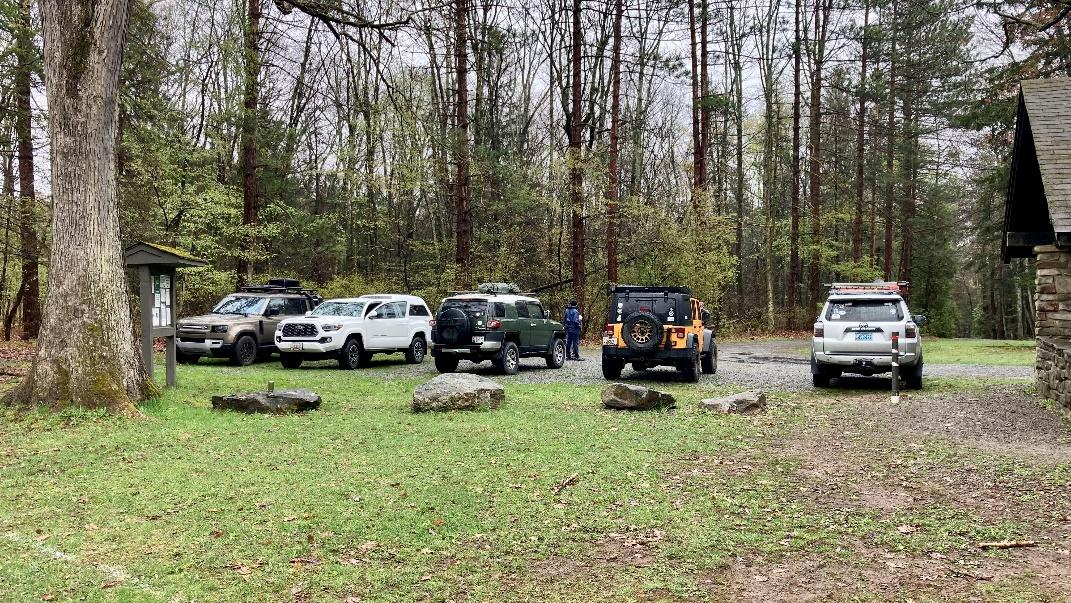
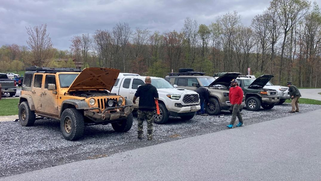
Once we made our way out to pavement we headed for the Elk County Visitor Center where we aired up and headed our separate ways.
PA Wilds
Profile
No data
No data
No data
No data
No data
No data
Duration:
No data
Trail Report written by Ben Dunkerton. Pictures contributed by Ben Dunkerton, Josiah Dunkerton, Jendra Rambharos, and Matt M . GPS tracks provided by Ben Dunkerton.