On a cool December day, we organized a bit of a last minute trip up Union Springs. The original plan was to go up Union, then rehash some of the Southern Squiggles route that we covered in the past. But, given the late announcement and busy December schedules, only Brian and I made it out this time around. So, we changed it up a bit and just planned on doing the Union Uphill route, then going down Dunkle Hollow towards Skidmore Fork Lake.
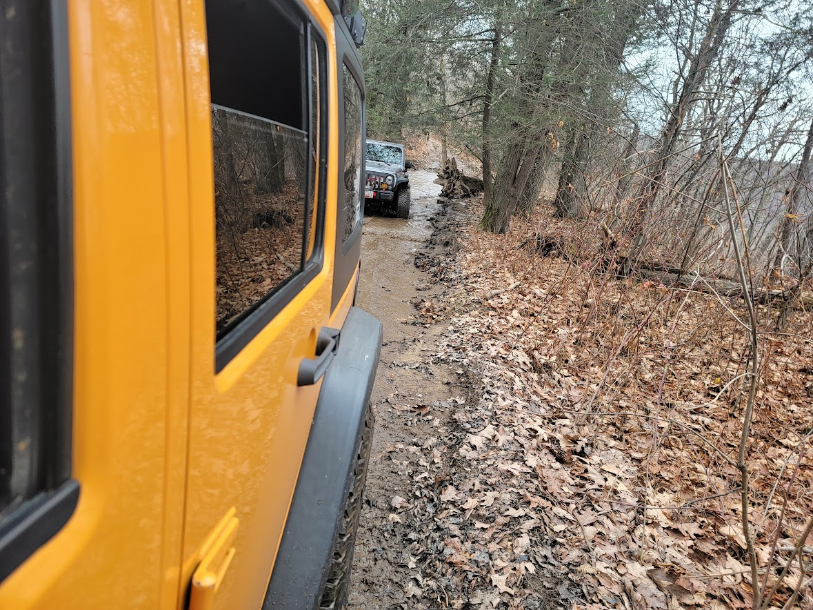
We met at the meetup point around 10, and headed to the Union Springs trailhead. From there, we aired down, and hit the trail. Union’s first half is a very mild packed dirt road that is deep in the treeline and very pretty. You drive along several streams, with the occasional small crossing. This trip, however, the water was quite dried up, pointing to a lower than usual rainfall average in the area. This is a trend we’ve noticed over the last couple of years.
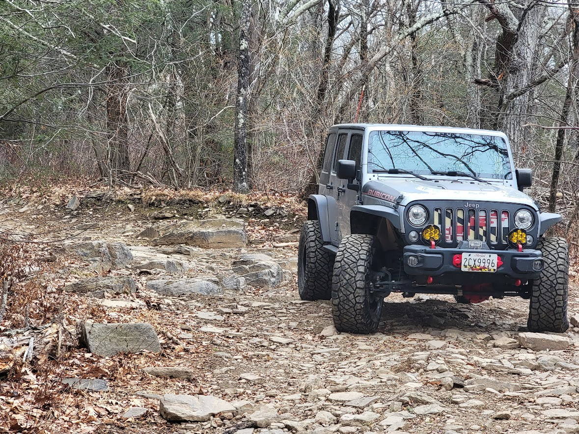
The first major obstacle comes up at about the 8.7 mile mark on the trail. It is a series of rock steps that you descend. There are also two bypasses around this, a flat route around, and a middle route with just one big step. Brian and I gently idled down the hard line, and carried on to the next obstacle.
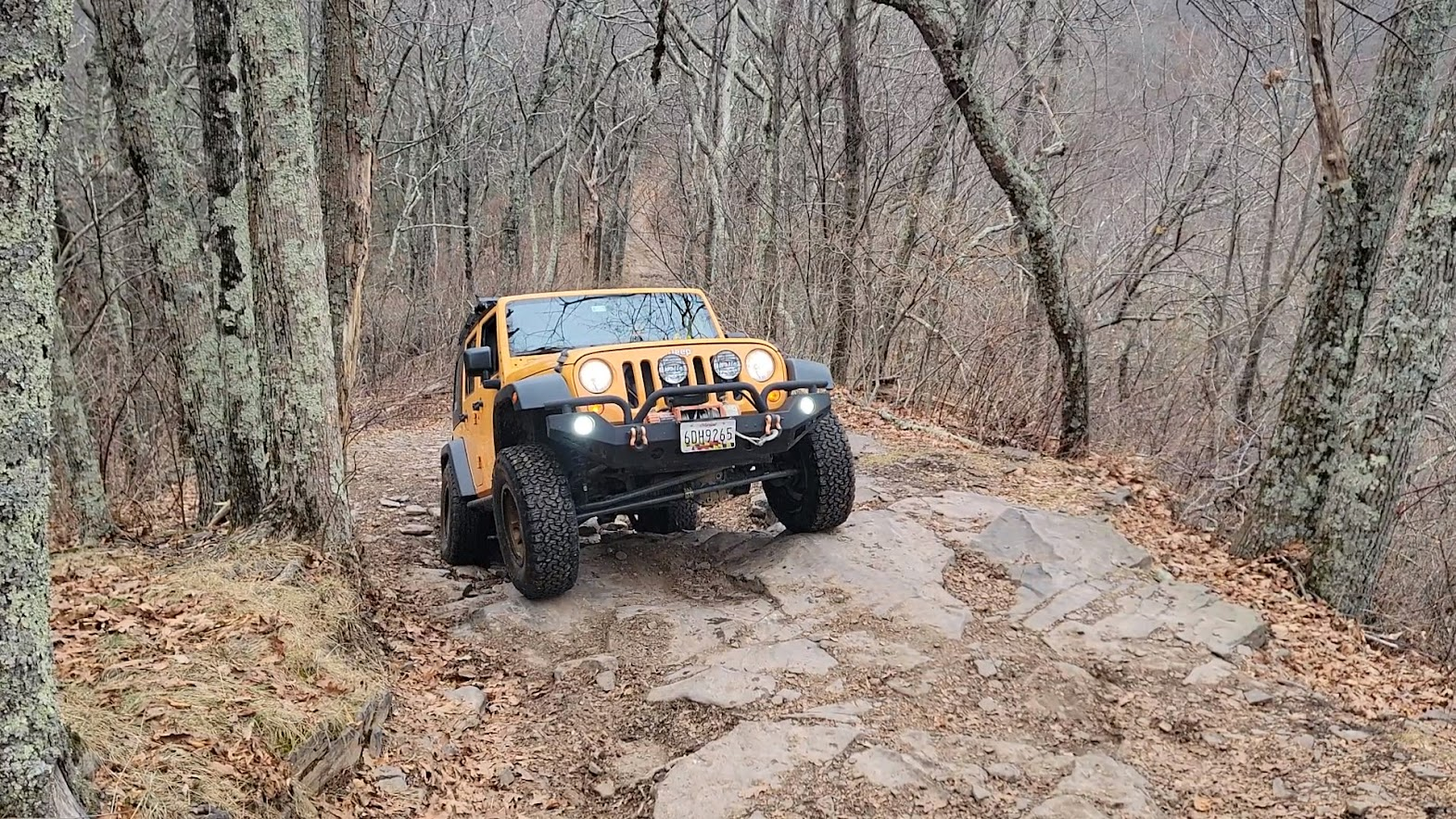
After that we came across a nice tall rock step. It looks harder than it is, as you approach it, the tires start to come up before the bumper can catch the lip, as long as you have a good approach angle.
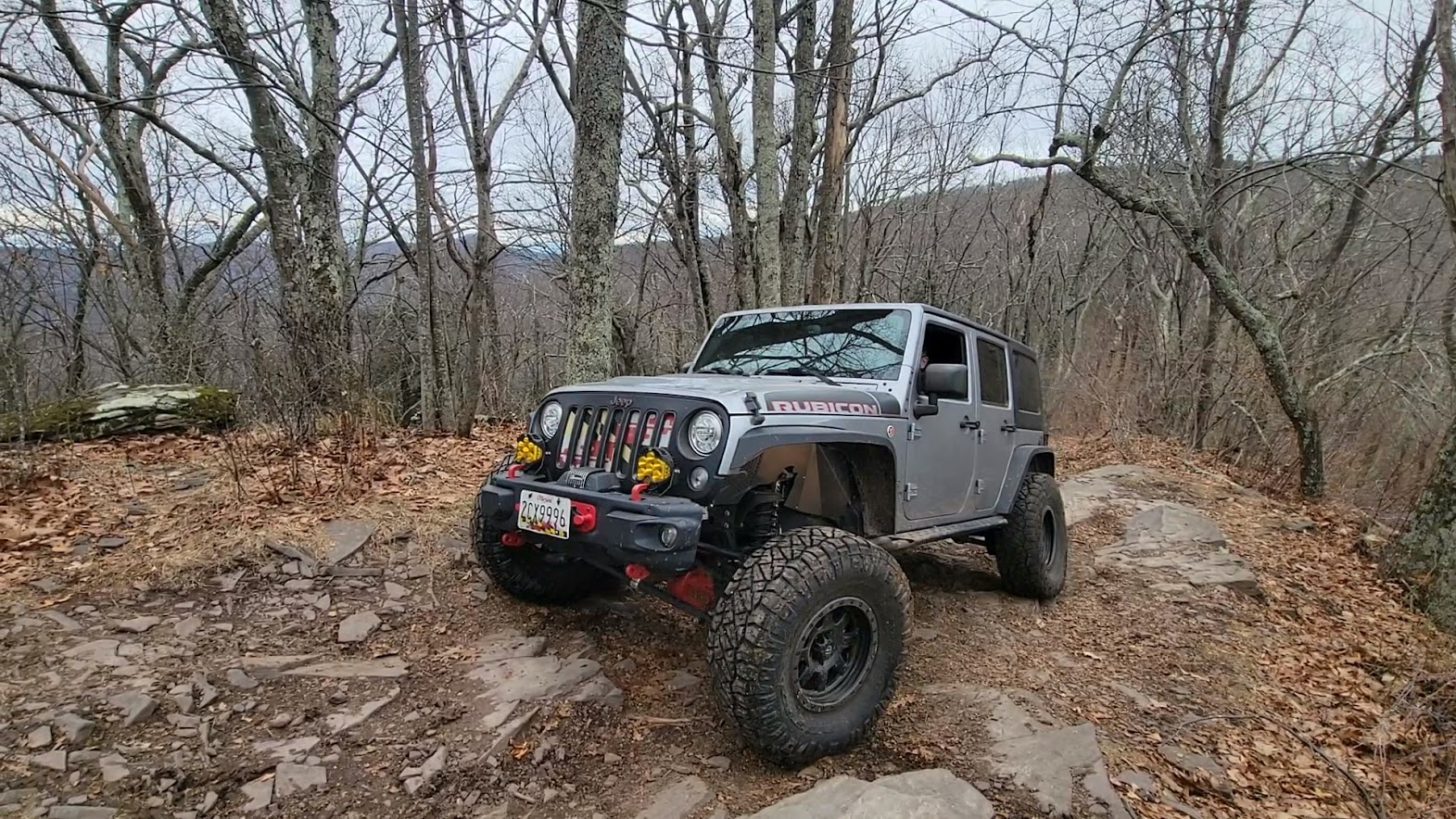
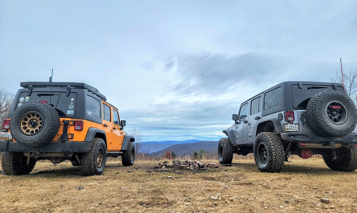
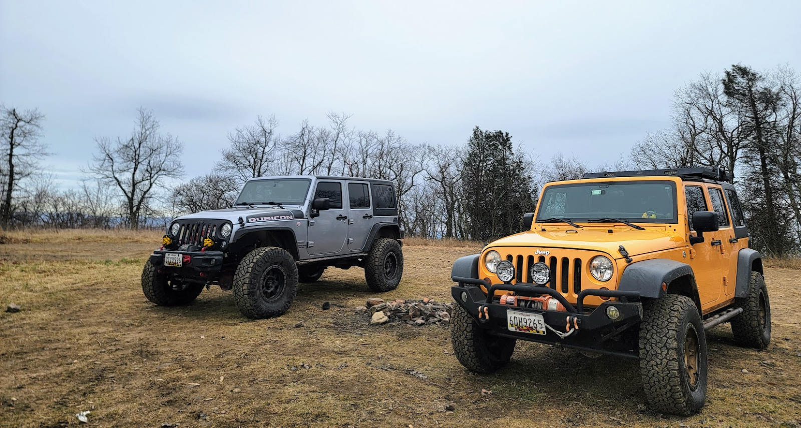
After that section, over the next few miles, there were a few more rock steps, followed but a bit of a rutted out section before Meadow Knob. We broke for lunch at Meadow Knob, as it’s a nice flat spot with a nice overlook. After that, we continued on towards Flagpole. Same as before, just a few rock steps and deeper ruts, and we reached the top of the trail.
From there, we went down Dunkle Hollow Rd to get down from the mountain. It was a nice leisurely ride down. There is one rutted spot with a big rock that makes for a nice flexed out pose, but the rock was gone. It must have been moved or cleared at some point. So there is no longer a choice of hard or easy line, just an easy line, with a rock in the middle that you want to put a tire on to avoid hitting it with your differential (ask me how I know).
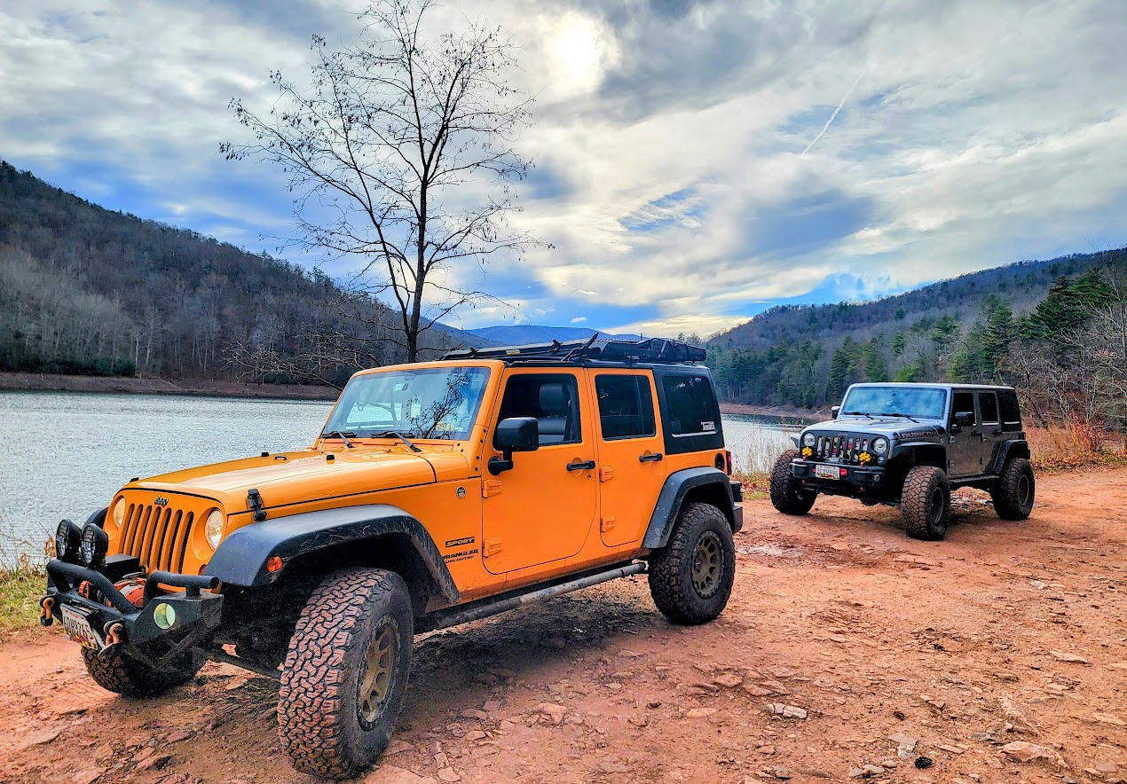
After that, we got down to the bottom of the trail, by Skidmore Fork Lake. The water was a good 15 feet lower than normal, another sign of lack of rainfall. Overall, it was a lovely quiet day out on the trail. Very peaceful, and not much traffic. We maybe came across 5 or 6 other vehicles total on the trail. Look forward to getting back out there and doing the Southern Squiggle route as well!
Track
Profile
No data
No data
No data
No data
No data
No data
Duration:
No data
Trail Report written by Jendra Rambharos. Pictures contributed by Jendra Rambharos and Brian Middleton. GPS track provided by Jendra Rambharos.