
Attendees:
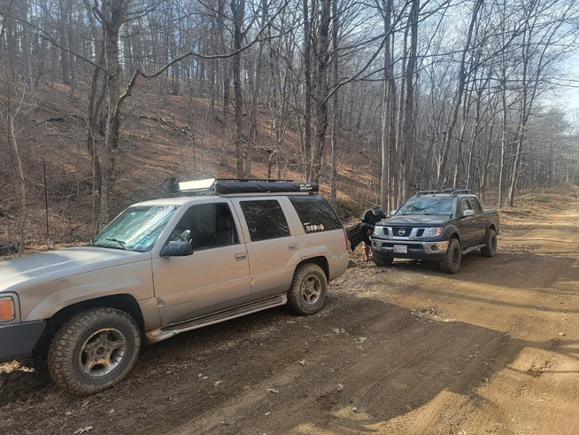
- Matt M – 2000 GMC Yukon Denali
- Steve S – 2012 Nissan Frontier
- Miguel I – 2006 Lexus GX470
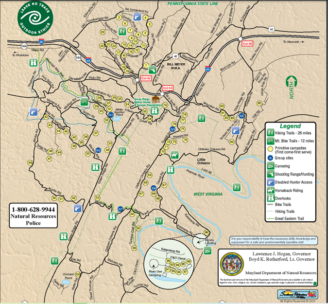
Green Ridge State Forest is Maryland’s only opportunity for dispersed and primitive camping. Greenridge composes 26,000 acres of Mountainous Forestland in Allegheny County, MD. For most of the DMV area, Greenridge is less than a 2 hour drive away, much closer than the National Forests of Virginia. There are 100 regular campsites spread all throughout the forest, with a small handful of larger group campsites. For the regular campsites, a $10/night permit is required for the first 6 people, and then $1/night for each additional person. You must go to the permit board located at the Forest Headquarters (28700 Headquarters Dr NE, Flintstone, MD 21530), pick and sign for a campsite on the sign-up board, fill out a permit envelope, and then place the permit and money into a drop box (there are instructions written on signs to help you with all of this). Campsites are available on a first-come first-served basis (no reservations), so it’s best to come with a few campsites in mind in case your favorite is unavailable.
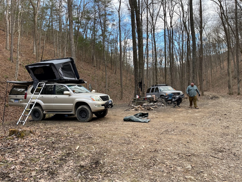
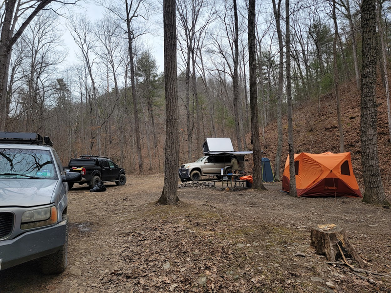
On Friday afternoon, we arrived at the Ranger Headquarters and looked at our options for campsites. We had a short list of campsites that we were interested in (from online research, many of the sites are on Google Maps with pictures and reviews from campers). We needed a site that was big enough for 2x Gazelle T4 tents, a vehicle with a Rooftop tent, and room for 2 more vehicles to park nearby. We ended up choosing site 85, which was marked “high clearance vehicle recommended” on the sign-in sheet. We headed back, excited to see whatever that meant. Disappointingly, it turned out to just be a long rutted out driveway. I think that pretty much any crossover would have made it without a problem.
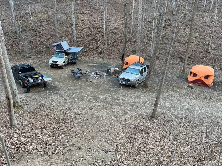
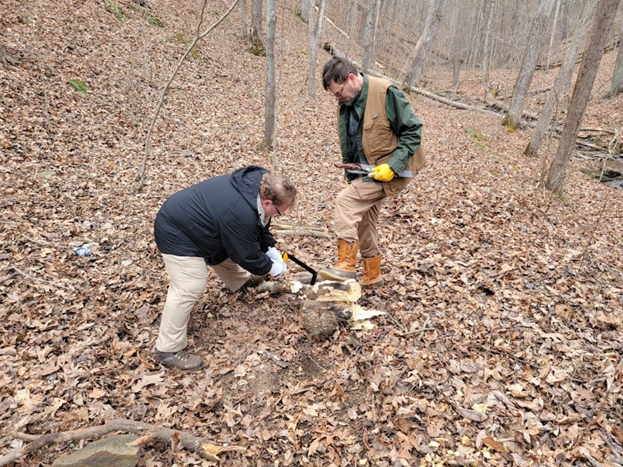
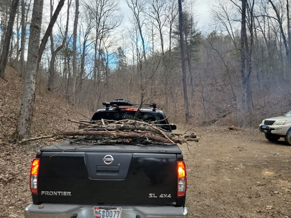
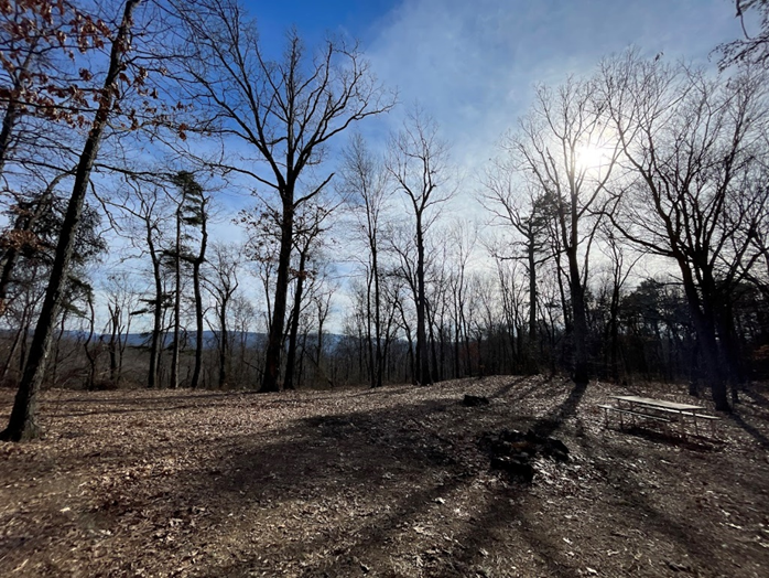
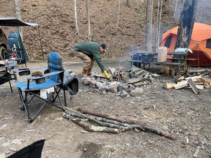
As we each set up our tents, we discovered that the spacious site was pretty limited in flat ground. There were also several rocks sticking out of the ground, which proved to be tripping hazards (I think we all tripped a few times). After we set up our camp, we started gathering some deadfall for firewood, which proved to be enough for Friday night, but we decided to go with the less exhausting decision and just buy some firewood for Saturday night’s fire.
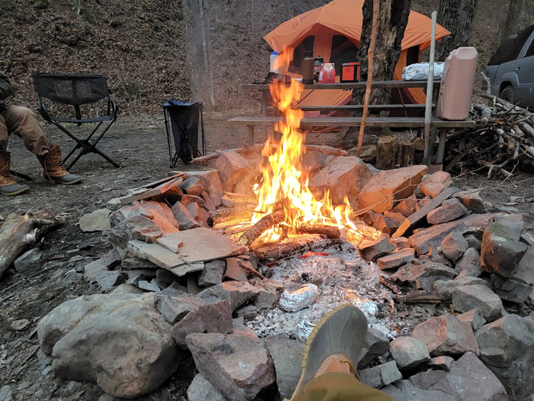
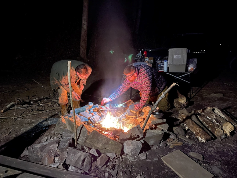
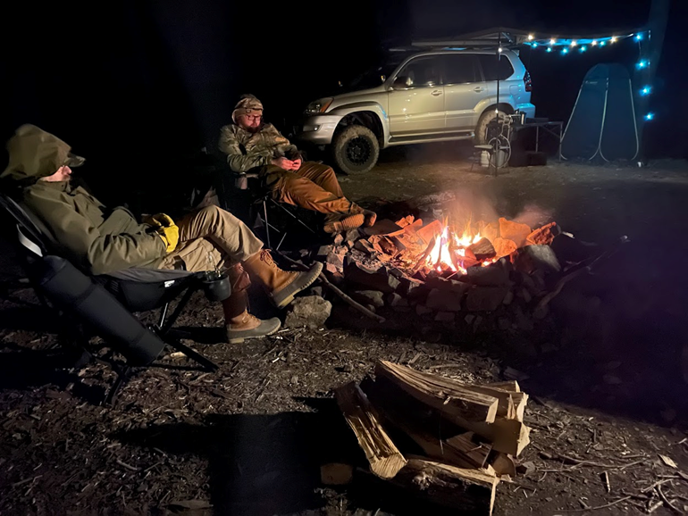
For dinner on Saturday, we attempted to grill New York strips and make mashed potatoes over the fire. We started by building a fire to build up some coals. We wrapped potatoes in aluminum foil and placed them directly over a bed of coals we shoveled out from the fire. After about an hour, they could be pierced with a fork and were removed from the coals to cool. Next, we scooped out the potatoes innards, melted a stick of butter, and tried to fry some garlic up. I don’t believe we had hot enough coals, as the garlic didn’t really “melt” like I wanted it to. We had the texture of mashed potatoes, but with the occasional chunk of garlic mixed in. The steaks took a few minutes to cook on the grill (again, I think we needed more/hotter coals), but was very tasty! We stayed warm around the fire, and eventually all went to bed. Overnight it got down into the mid-twenties, but we all had the proper gear to stay warm and comfortable.
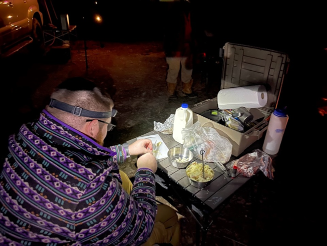
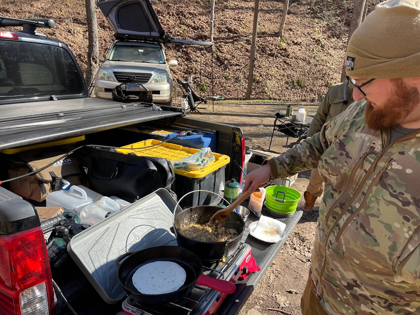
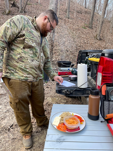
The next morning we all woke up at our own pace, and started making breakfast. We had a delicious bacon and egg hash, served on warmed tortillas with salsa and cheese. There were no leftovers. Steve’s tailgate came in very handy throughout this trip, especially for cooking and doing dishes.
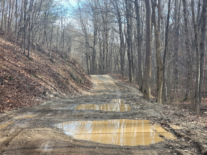
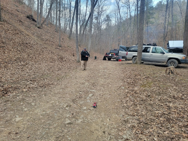
After breakfast, we decided to go for a drive. I used GAIA GPS on my phone to put together a short route, wanting to check out some more campsites. I really appreciate the GAIA Overland layer, it is a very nice map layer for making rough routes when you are out in the field without cell service. We left Miguel’s Lexus (with rooftop tent and awning) behind, and went for a short ~40 mile adventure.
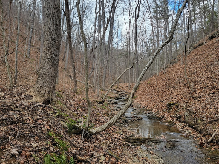
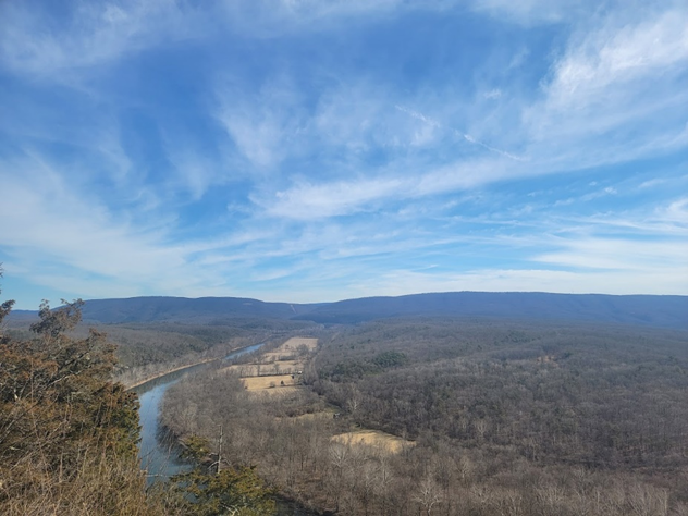
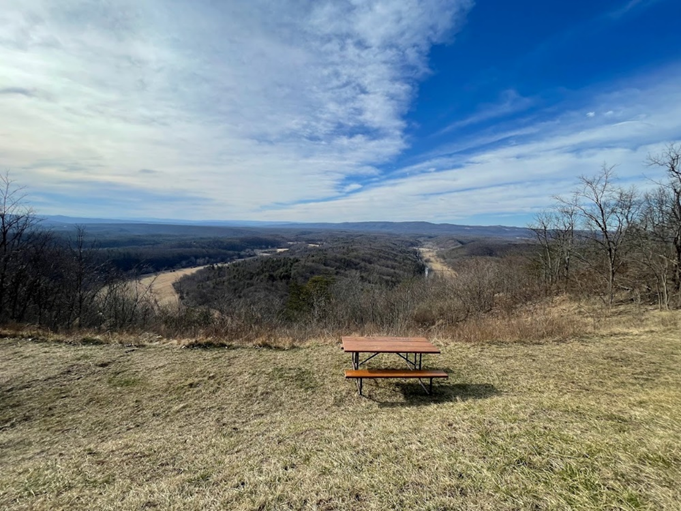
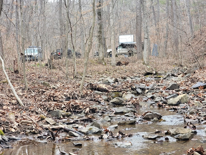
We started by driving “cliff road”, which turned out to be a somewhat sketchy shelf road. We went up to Point Overlook, and discovered that the roads seemed to be much rougher than they had been in Summer. The roads were rough enough that we decided to pull over and air down a little bit, just enough to take the edge off. We found several shallow stream crossings and checked out some more campsites (taking notes for future trips). We also checked out “Log Roll Overlook”, which is built on a site where they quite literally rolled logs down the hill into Fifteen Mile Creek so they could float down to a sawmill.
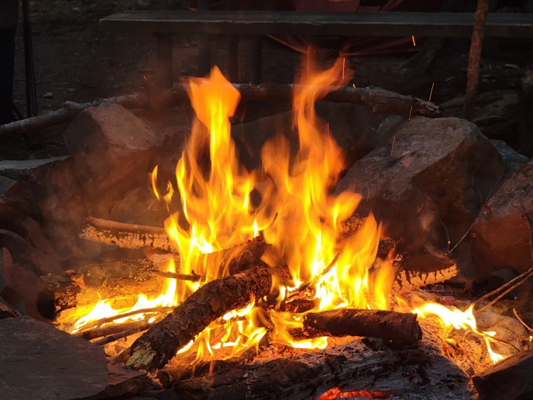
We took Route 68 back towards our campsite, and made sure to stop at the Oak Barrel Café to get some firewood. We quickly started our campfire, and got started on dinner.
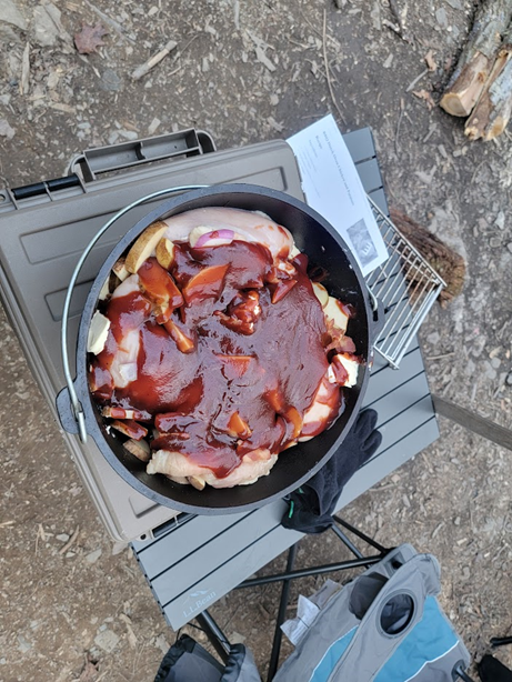
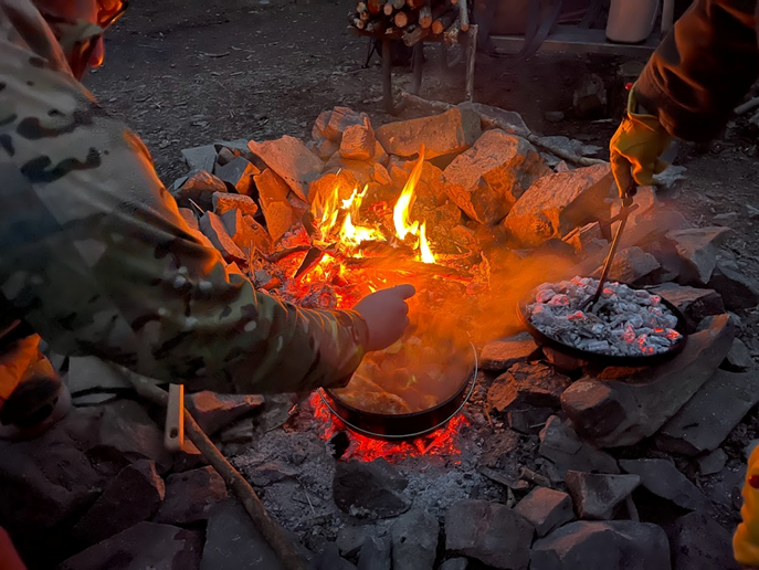
Dinner was a BBQ Chicken/Bacon/Potato/Onion stew, cooked in a Dutch over with coals. I had brought a bag of hardwood lump charcoal along, which we poured onto our campfire to start and eventually used with the Dutch oven. Everything went perfectly, and dinner was delicious. On future trips, I want to experiment more with campfire and Dutch oven cooking, the hardest part is the cleanup which really isn’t that bad as long as you have good seasoning. We cleaned up, had our campfire, and went to bed.
Sunday morning, we woke up and started breaking camp. We didn’t have any fancy cooking, just Mountain House meals or some Yogurt and cereal. We packed up our gear, said our goodbyes, and all left at our own pace.
So in summary, this was a very nice and relaxing trip. Yes it was cold, but we were all prepared for that and had a great time. I am looking forward to planning more relaxing trips like this in the future, more focused on camping than off-roading.
Saturday Track
Profile
No data
No data
No data
No data
No data
No data
Duration:
No data
Trail Report written by Matt M. Pictures contributed by Matt M. and Steve S. GPS tracks provided by Matt M.