Attendees:
- Ben – 2014 Toyota 4Runner
- Matt – 2000 Yukon Denali
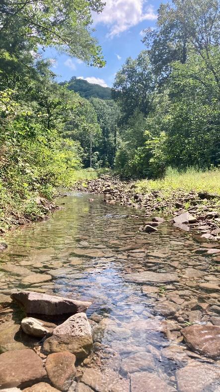
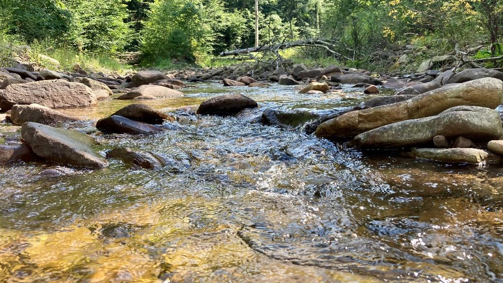
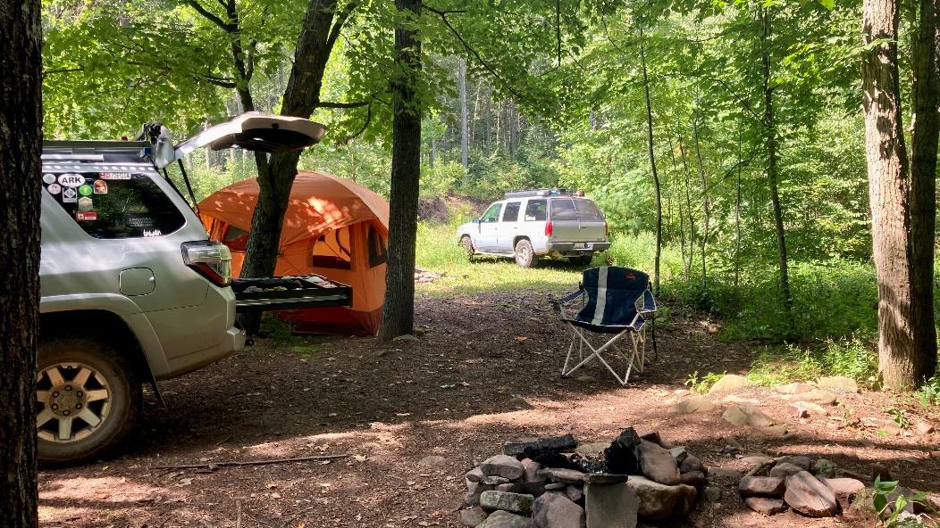
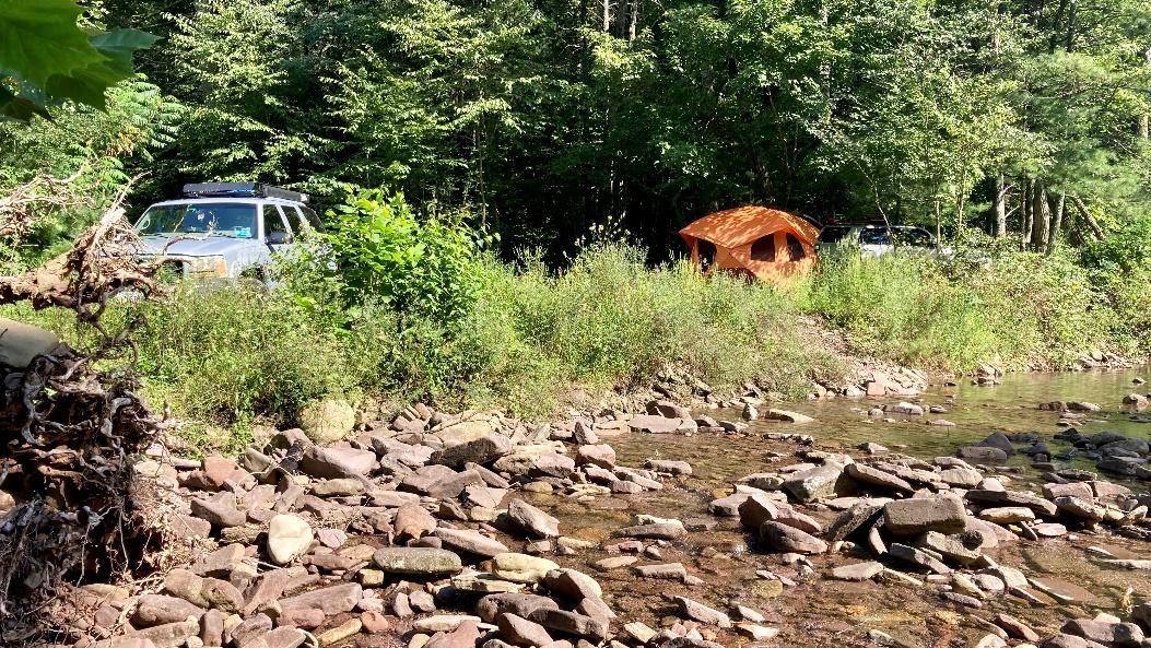
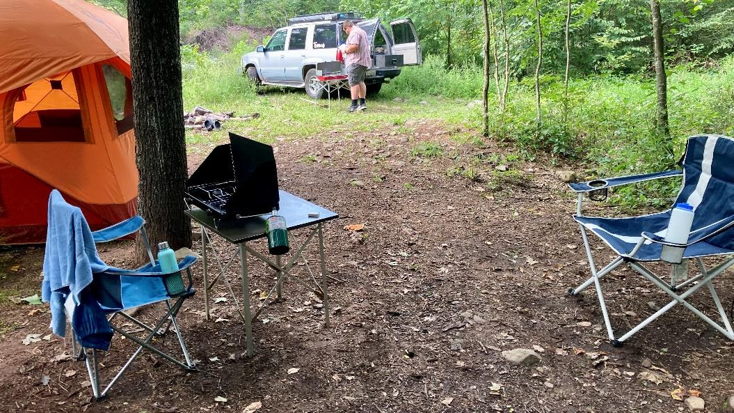
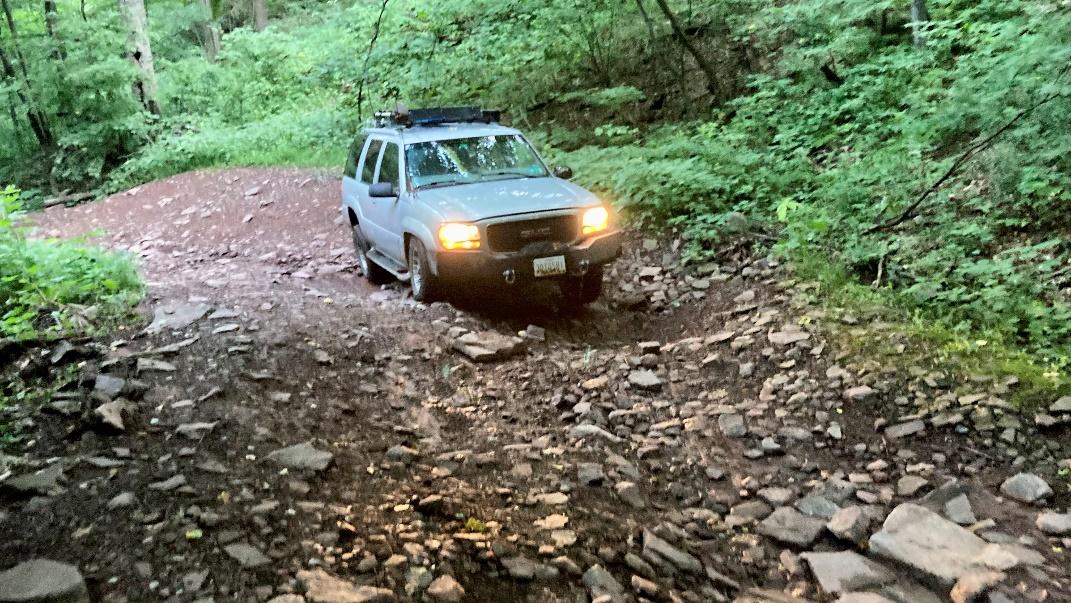
Matt and I met up at Switzer Lake (or Skidmore Fork Lake depending on your map!) Friday afternoon with plans to camp that night and join the group for the Big Levels trail ride Saturday morning. We headed up Dunkle Hollow Road and turned down Nork Skidmore Fork Road (Forest Road 1197) to a site that I had previously scouted when CORE did the Milky Way Viewing ride. Fortunately, the site I wanted was empty and I christened it Creekside! It is a small site right on the creek perfect for two people. The water was clear and surprisingly cold!
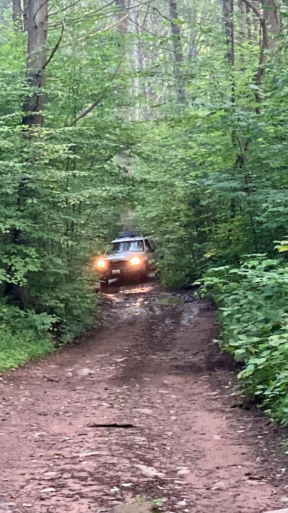
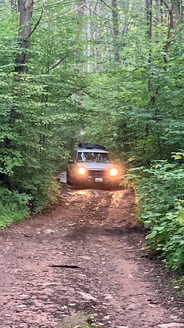
That evening we decided to head south Saturday morning by way of Flagpole Knob since Matt had never been. We got on the trail early to make sure we had enough time to do the trail and meet up with the rest of the Big Levels group. The ride up to Flagpole Knob was wetter than I was expecting since all the creek crossings at the bottom were mostly dry.
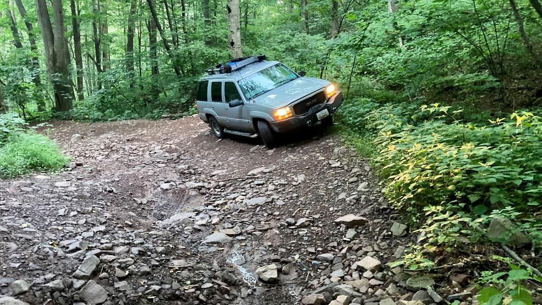

Once we finally got cell service near Flagpole Knob we got a message from Mike saying his power steering fluid was all over the hotel parking lot and he wouldn’t be able to make the ride. A quick check of the CORE forum showed that James was also having problems with his truck and didn’t even make it out of the driveway! The only two trucks left that were planning on doing the Big Levels ride were already on the trail! Since neither of us felt comfortable doing Big Levels we decided to continue to Flagpole Knob and then on to Reddish Knob and regroup there. While the road to Reddish Knob is paved, we both agreed that the potholes were worse than the gravel road we had just come from! On Reddish Knob we checked our maps and decided to explore some forest service roads in the area that neither of us had done before.
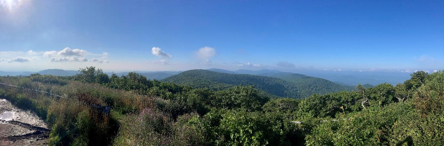
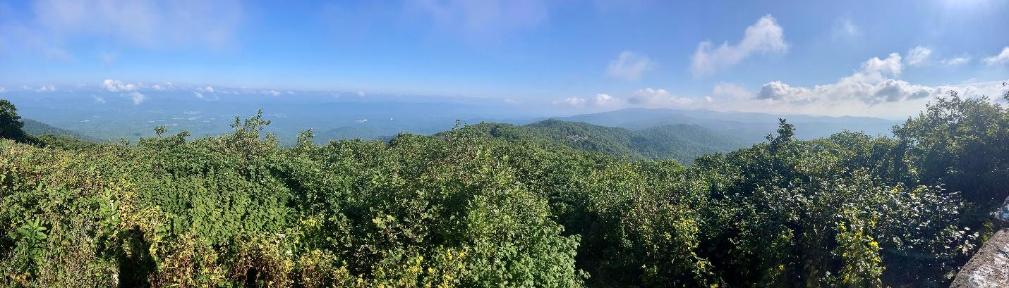
The views from Reddish Knob were as amazing as ever!
We headed south from Reddish Knob on Forest Service Road 85-5 to 95 then 96. These are generally smooth gravel roads with isolated areas that were a little bit rougher. There is lots of beautiful scenery and dispersed camping along Roads 95 & 96 that could suit anybody’s tastes. There were small sites and big sites; shaded sites and open sites; stream side sites; and sites that could accommodate a normal travel trailer (someone had brought their travel trailer out to one of the sites)!
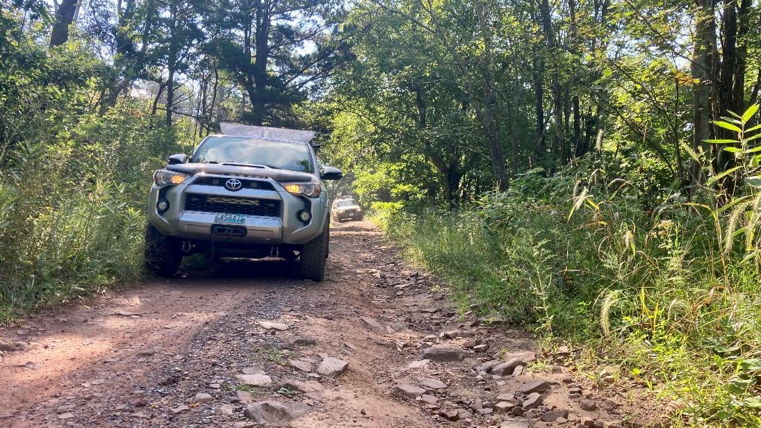
Forest Service Road 85-5
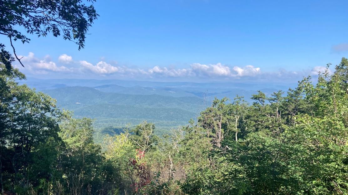
Overlook on Forest Service Road 85-5
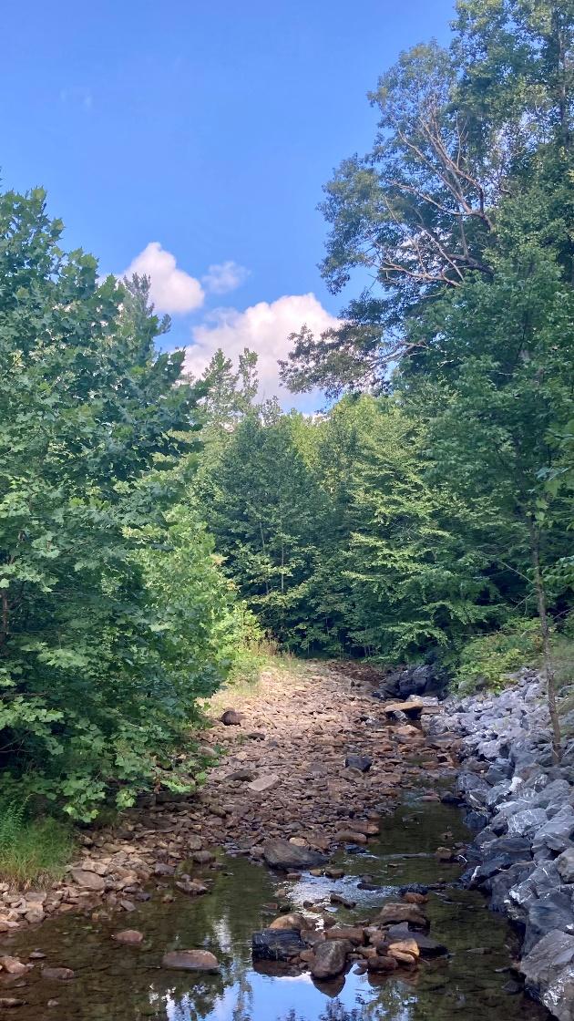
Stream along Forest Service Road 85-5 and Elkhorn Lake
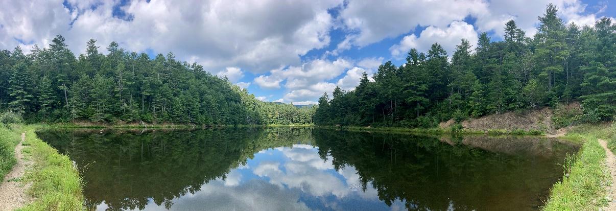
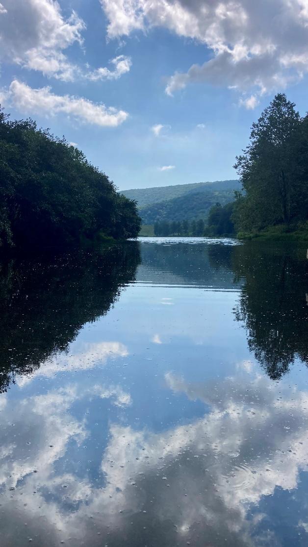
Braley Pond
We ended our ride at Braley Pond Picnic Area and both decided to head for home pleased with what we had discovered!
High Knob Hike
Profile
No data
No data
No data
No data
No data
No data
Duration:
No data
Trail Report written by Ben Dunkerton. Pictures contributed by Ben Dunkerton. GPS tracks provided by Ben Dunkerton.